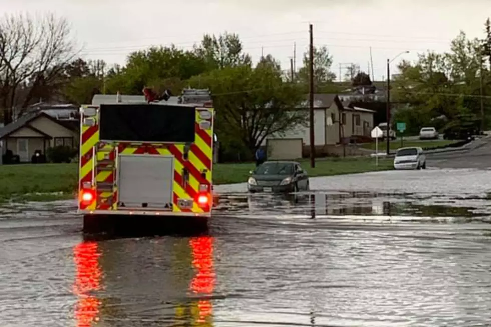
Monsoon Weather Could Bring Flash Floods To SE Wyoming This Week
The Cheyenne Office of the National Weather Service says monsoon weather is expected to hit southeast Wyoming this week, possibly bringing heavy rain to some areas.

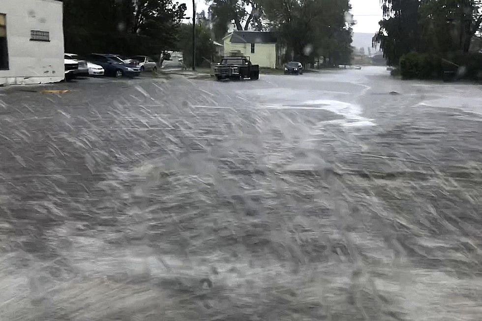
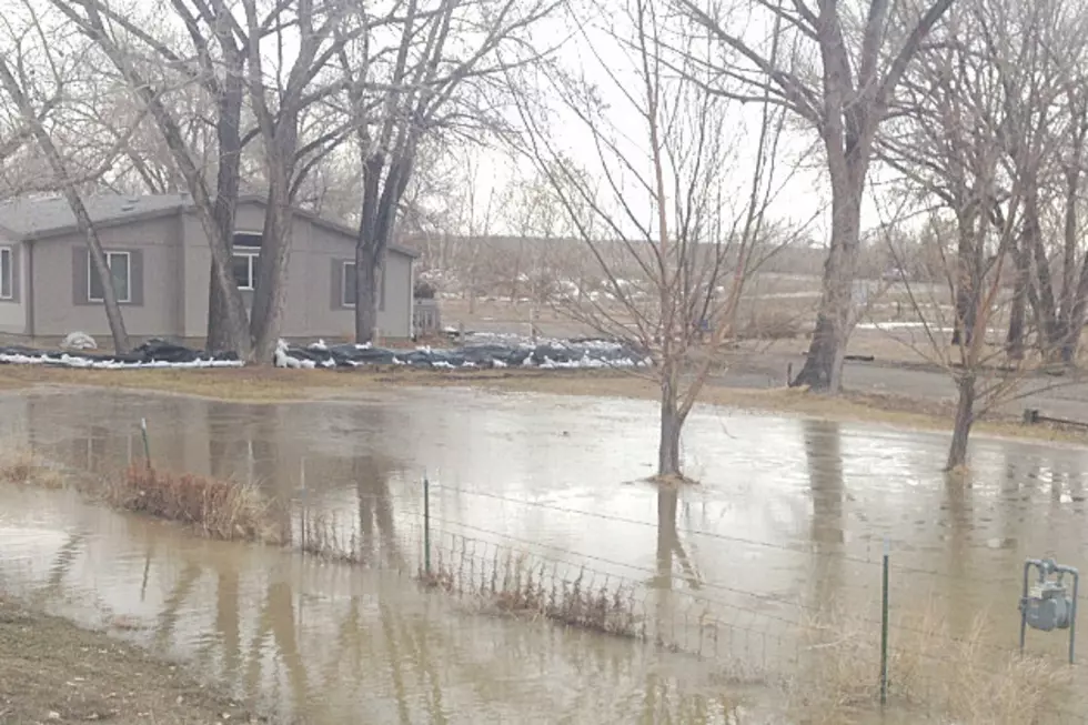
People are being warned to be on the lookout for possible flash flooding later in the week.
The agency posted this statement on its website:
''We have bad news and some good news with this forecast outlook for this week. Some bad news first. Going to be hot, dry and breezy today and Tuesday across the area. Critical fire weather conditions expected for many areas today and Tuesday with Red Flag Warnings and Fire Weather Watches in effect. By far, the hottest day this week will be Tuesday, when we could approach the century mark in the Panhandle Tuesday afternoon. Now some goods news! We see another monsoon push starting out across Carbon County as early as Tuesday evening, that will spread east Wednesday. This monsoon moisture is the remnants of an eastern Pacific Hurricane (Nora), that has moved into Old Mexico and is being pulled north into the central Rockies the next several days. Rain chances really increase Wednesday and persist into the weekend as this moisture remains over the area. One word of caution though with this moisture push, there could be heavy rain in some areas, that could lead to flash flooding. Especially for the Mullen Burn Scar. So keep an eye on the forecast over the next week for any possible Flash Watches/Warnings that may be issued."

The Most Underrated Restaurants In Cheyenne
More From Laramie Live