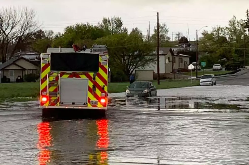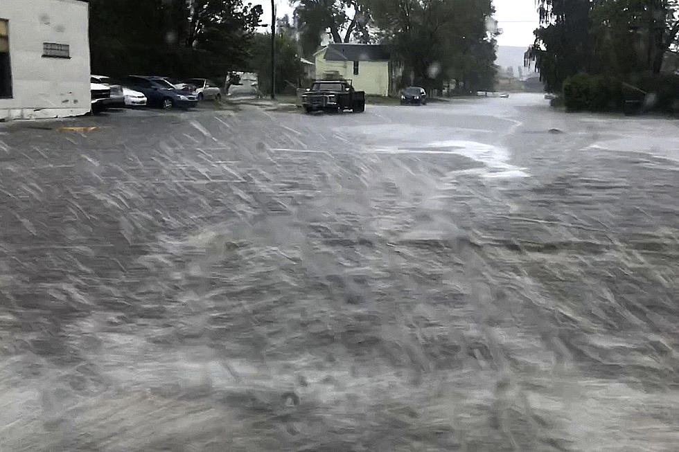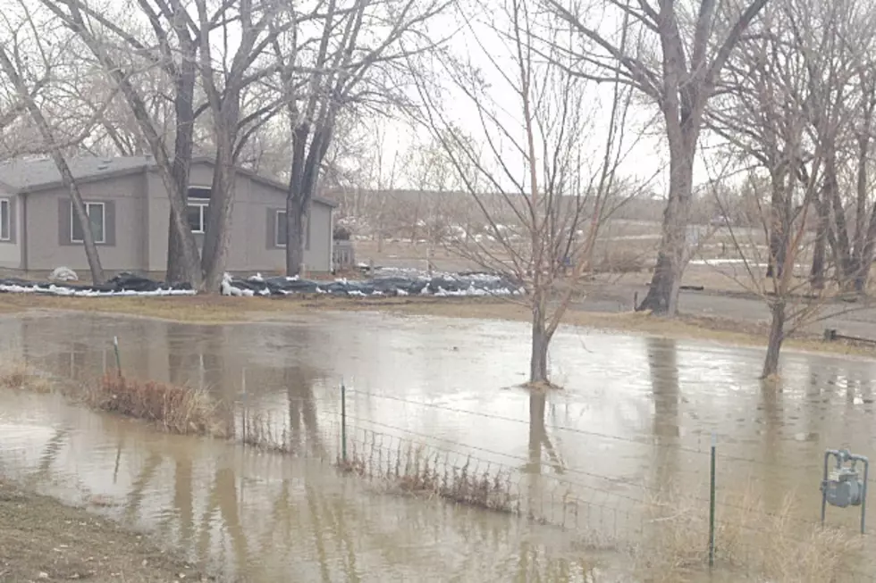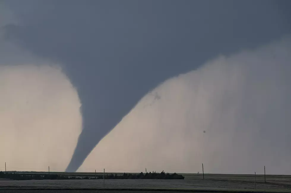
Cheyenne NWS: Tornadoes, Large Hail, Flooding Possible Sunday
The Cheyenne Office of the National Weather Service is warning people to watch out for possible severe storms on Sunday. Possible threats include large hail, heavy rain, strong winds, and even a few tornadoes are possible. The agency posted this statement on its website early on Sunday:
''Good morning. Still looking at a fairly widespread severe thunderstorms event to take place across southeast Wyoming and Nebraska Panhandle later today. Folks need to be ready for strong to severe thunderstorms west of the Laramie Range to include Laramie, Rock River and Shirley Basin as early as 11AM today. Folks along and east of the Laramie Range in southeast Wyoming can expect storms to develop as early as noon time today, while folks in the Panhandle can expect these storms after 3PM. Storms initially are expected to develop as discrete supercells as they come off the Laramie Range and move towards the northeast. As they move into the Panhandle, they look to line out as bowing segments/squall lines. For folks in southeast Wyoming along and east of the I-25 Corridor, all modes of severe weather (Hail up to 2 inches in diameter, 60 MPH wind gusts, flash flooding, and a few tornadoes) are possible. As the storms bow out in the Panhandle, the threat becomes more strong winds to 70 mph and heavy rainfall possibly leading to flash flooding look to be the primary threats. Looks like the storms clear the Nebraska Panhandle after 8 PM this evening with calmer weather returning from west to east. Keep an eye on the sky today and stay tuned to later updates from the National Weather Service on thunderstorm development.""
More From Laramie Live