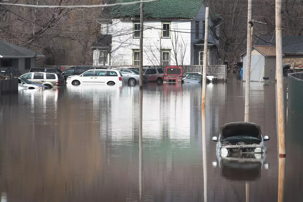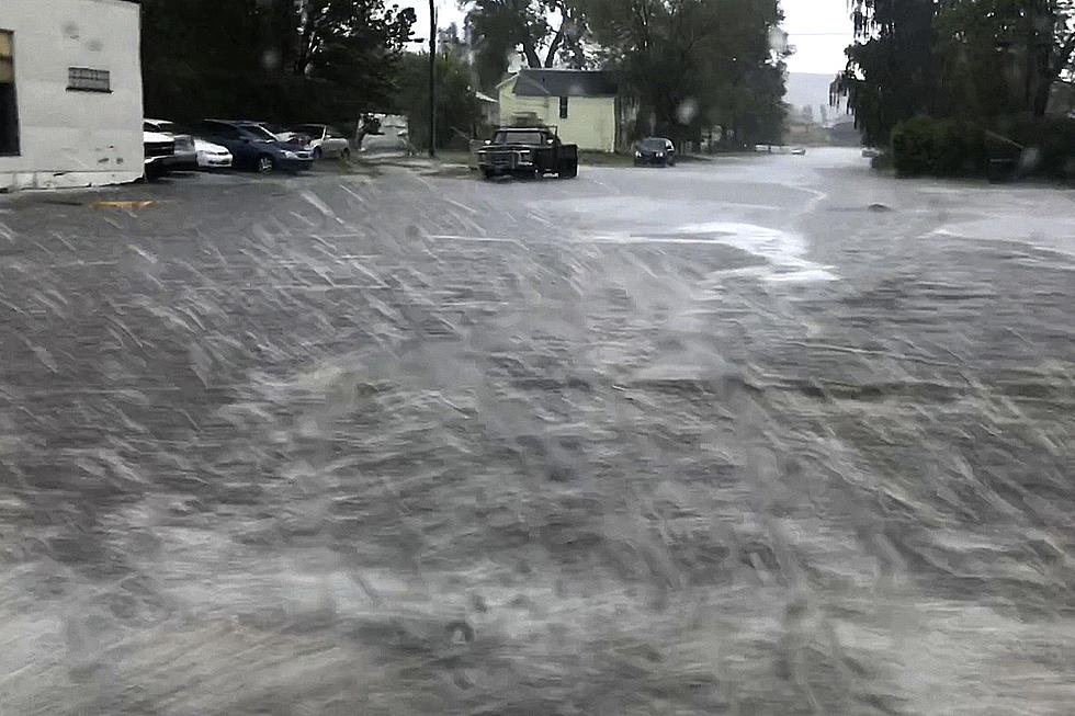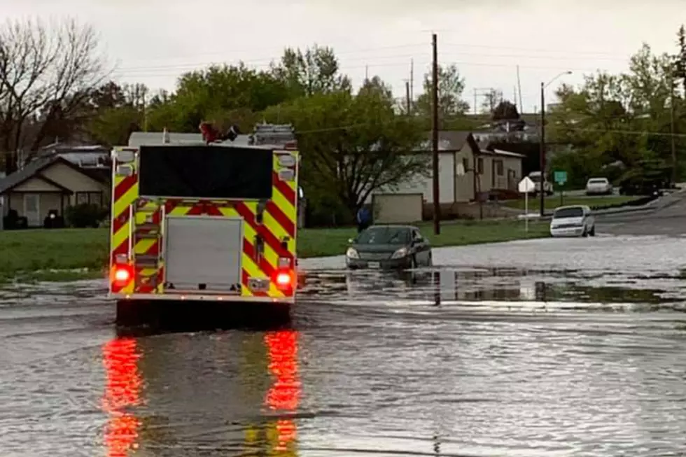
Cheyenne Area Could See Flash Flooding Today
Slow-moving thunderstorms could bring heavy rain to the Cheyenne area early this afternoon through the evening hours, which could lead to some flash flooding.
The National Weather Service in Cheyenne issued the following statement Thursday morning:

1000 AM MDT Thursday, July 1 -- Scattered showers and thunderstorms will develop across the region off the Laramie Range moving eastward towards southern Nebraska Panhandle. These storms will move slow and could stall at times. Areas such as Cheyenne, Scottsbluff, Kimball, Pine Bluffs, and Sidney (yellow shaded area) should stay weather aware today as flash flooding could be a risk today! Those holiday traveling should also have a way to receive any forecast information. Hail is unlikely with these storms but up to pea sized hail is possible today.

A Flash Flood Watch is in effect for portions of central, north central, and
northeast Colorado through this evening, but as of 11 a.m. Thursday, no watches or warnings had been issued for southeast Wyoming.
Flood Watch
National Weather Service Denver CO
846 AM MDT Thu Jul 1 2021

COZ035>041-020600-
/O.NEW.KBOU.FF.A.0001.210701T1700Z-210702T0600Z/
/00000.0.ER.000000T0000Z.000000T0000Z.000000T0000Z.OO/
Larimer and Boulder Counties Between 6000 and 9000 Feet-Jefferson
and West Douglas Counties Above 6000 Feet/Gilpin/Clear
Creek/Northeast Park Counties Below 9000 Feet-Central and
Southeast Park County-Larimer County Below 6000 Feet/Northwest
Weld County-Boulder And Jefferson Counties Below 6000 Feet/West
Broomfield County-North Douglas County Below
6000 Feet/Denver/West Adams and Arapahoe Counties/East Broomfield
County-Elbert/Central and East Douglas Counties Above 6000 Feet-
Including the cities of Hartsel, Elbert, Westcreek, Arvada,
Central City, Red Feather Lakes, Larkspur, Bailey, Evergreen,
Georgetown, Glendevey, Nederland, Aurora, Fairplay, Littleton,
South Park, Boulder, Highlands Ranch, City of Denver, Loveland,
Kiowa, Estes Park, Longmont, Fondis, Denver International
Airport, Golden, Parker, Castle Rock, Lakewood, Fort Collins,
Nunn, Idaho Springs, Lake George, Hereford, and Brighton
846 AM MDT Thu Jul 1 2021

...FLASH FLOOD WATCH IN EFFECT THROUGH THIS EVENING...

The National Weather Service in Denver has issued a

* Flash Flood Watch for Portions of central, north central, and
  northeast Colorado, including the following areas, in central
  Colorado, Central and Southeast Park County and Jefferson and West
  Douglas Counties Above 6000 Feet/Gilpin/Clear Creek/Northeast Park
  Counties Below 9000 Feet. In north central Colorado, Larimer
  County Below 6000 Feet/Northwest Weld County and Larimer and
  Boulder Counties Between 6000 and 9000 Feet. In northeast
  Colorado, Boulder And Jefferson Counties Below 6000 Feet/West
  Broomfield County, Elbert/Central and East Douglas Counties Above
  6000 Feet and North Douglas County Below 6000 Feet/Denver/West
  Adams and Arapahoe Counties/East Broomfield County.

* Through this evening.

* Increasing moisture and instability today will lead to widespread
  thunderstorm development by the early afternoon. Heavy rain and
  flash flooding will be possible in these slow moving storms,
  especially over burn areas.

* Rapid increases in water in creeks and small drainages could make
  roads become quickly impassable.

PRECAUTIONARY/PREPAREDNESS ACTIONS...

You should monitor later forecasts and be prepared to take action
should Flash Flood Warnings be issued.
Frontier Days FLASHBACK: Nickelback Rocks In The Rain
More From Laramie Live