Spring Storm to Make for Poor Travel Across Wyoming [VIDEO]
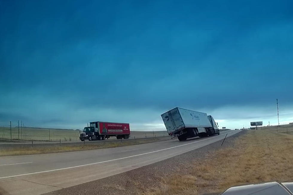
A spring storm set to roll across the Cowboy State late Thursday into Saturday morning is expected to make for poor road conditions across much of Wyoming.
K2 Radio Meteorologist Don Day predicts high travel impacts along all three stretches of interstate highway in Wyoming. The heaviest snowfall is expected in central areas of the state and elevations above 6,000 feet.
Rain and thunderstorm activity are forecast for Thursday afternoon through Friday morning for portions of southeastern Wyoming, while areas of scattered rain and snow showers will develop across far western and northern Wyoming later Thursday.
Overnight Thursday until sunrise Friday, areas of rain and snow, turning to snow, will develop across the far west, central and northern areas of Wyoming. Scattered rain and snow showers are expected along the I-80 corridor from Rawlins east into Nebraska.
During the day Friday, Day expects heavier snowfall in the middle of Wyoming, from the far western areas to the eastern border. Fog and limited visibility are likely in that area.
"Sections of I-90 and I-25 will be adversely impacted by the heavier snow and areas of fog," Day says.
Overnight Friday into Saturday morning, snowfall is expected in southeastern and parts of central Wyoming, including Casper.
"It could especially be slick along I-25 and I-80 in southeastern Wyoming Friday evening, Friday night and into Saturday morning," Day predicts, with improving weather during the day Saturday and into Sunday.
For the latest road conditions, visit WyoRoad.info, call 511 or download the Wyoming 511 app.
More From Laramie Live