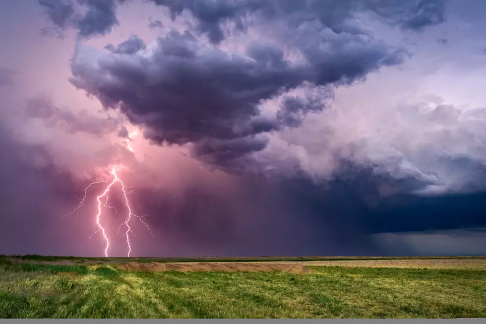
Spring Storm Rolls Through Northern, Central Wyoming
A rainy, snowy spring storm will visit much of northern and central Wyoming during the next day -- and later in the week, too, according to the Riverton office of the National Weather Service on Monday.
Most of the precipitation -- mountain snow and valley rain -- will be across the western parts of the state, according to the Monday afternoon update from the Weather Service.
Most of the precipitation today -- mountain snow and valley rain -- will be across western Wyoming from Yellowstone east to Cody and south almost to Kemmerer, and Dubois to south of Lander.
Precipitation is expected to develop east of the Divide late today into the evening hours as the upper-level system shifts into central and eastern Wyoming.
The Weather Service has issued a winter weather advisory for eastern Big Horn and Washakie counties, Sheridan County, and western Johnson and northwestern Natrona counties.
Campbell, Weston and Crook counties are under a winter storm watch.
The western valleys are expected to receive snow tonight. The associated cold front will sweep across central and northeastern Wyoming with rain in the lower elevations changing to snow in most locations from midnight to 6 a.m.
The heaviest precipitation probably will occur across the Bighorn Mountains eastward across northeast Wyoming through noon Tuesday.
The Weather Service expects significant mountain snowfall over the mountains and northern Johnson County.
It predicts six inches or more of heavy wet snow for the affected areas. The heavy snow could cause problems for trees that are beginning to leaf out and could break branches
Conditions will improve over the west on Tuesday morning, and then east of the Divide Tuesday afternoon.
But don't get complacent.
On Thursday and Friday, a slowly evolving cold storm system will develop over the Great Basin and spread widespread cold rain or snow across much of the area.
Significant snowfall is possible especially in the area of Central Wyoming.
The Weather Service expects the snow to end with improving conditions.
The Weather Service offers this advice especially for travelers:
- Mountain passes will be slick and hazardous at times today through Tuesday. Powder River and Granite Mountain passes will be the most affected.
- Reduced visibility in heavier snow can disorient those recreating in the back country.
- Interstates 25 and 90 across northern Johnson County will become slick late tonight into Tuesday.
- Other highways in the lower elevations will experience conditions from wet to slick in spots.
For more road information, visit the Wyoming Department of Transportation's website.
More From Laramie Live


![[UPDATE] Laramie Curtis Street Bridge Detour Postponed to Tuesday](http://townsquare.media/site/245/files/2023/07/attachment-nicole-sherwood-curtis-st-bridge.jpg?w=980&q=75)


