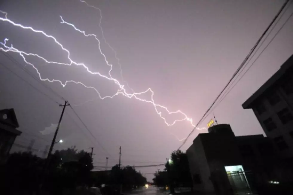
Severe Thunderstorms, Hail, and Lightning Could Hit Laramie
LARAMIE -- Strong to severe thunderstorms are expected to develop again along the North Laramie Range early Wednesday afternoon.
Storms will then move off into Converse and Niobrara Counties in Wyoming as well as the Northern Nebraska Panhandle later Wednesday afternoon and into the evening hours.
Hail up to 1.5 inches in diameter, brief 60 MPH wind gusts, and frequent lightning will be the main threats with these storms, however, a tornado or two is still possible.
Keep an eye on the sky today and stay tuned to later updates from the National Weather Service on thunderstorm development. Be safe!
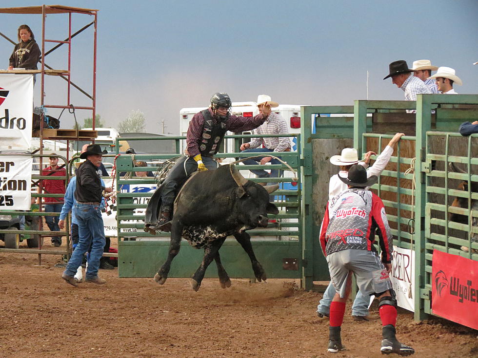
More From Laramie Live