NWS Cheyenne: Hot, Dry Weather Will Stick Around Through Friday
Southeast Wyoming and the Nebraska Panhandle won't be seeing any relief from the hot, dry weather anytime soon.
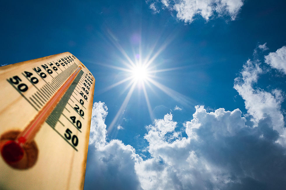
The National Weather Service in Cheyenne says continued above-average temperatures with mostly sunny skies and low humidity are expected to stick around through the end of the work week.
"A few isolated showers or storms may develop mostly in the higher terrain, but wetting rains are unlikely," the NWS said.

A Red Flag Warning is in effect from 2 p.m. this afternoon to 8 p.m. this evening for portions of east central Wyoming, with wind gusts up to 30 mph possible.

5AM 7/20 – A Red Flag Warning has been issued for portions of east central Wyoming covering 2-8PM today. While winds will be lighter than yesterday, humidity remains low and breezy conditions could still support rapid fire spread.
URGENT - FIRE WEATHER MESSAGE
National Weather Service Cheyenne WY
240 AM MDT Wed Jul 20 2022

...RED FLAG WARNING FOR GUSTY NORTHWEST WINDS AND LOW HUMIDITY
WEDNESDAY FOR PORTIONS OF EAST CENTRAL WYOMING...

WYZ417-418-202145-
/O.NEW.KCYS.FW.W.0012.220720T2000Z-220721T0200Z/
Niobrara/Lower Elevations of Converse/Thunder Basin National
Grassland-
Middle North Platte River Basin/Niobrara and Converse High Plains-
240 AM MDT Wed Jul 20 2022

...RED FLAG WARNING IN EFFECT FROM 2 PM THIS AFTERNOON TO 8 PM
MDT THIS EVENING FOR GUSTY NORTHWEST WINDS AND LOW HUMIDITY FOR
FIRE WEATHER ZONES 417 AND 418...

The National Weather Service in Cheyenne has issued a Red Flag
Warning, which is in effect from 2 PM this afternoon to 8 PM MDT
this evening.

* AFFECTED AREA...Fire weather zone 417.Fire weather zone 418.

* WIND...Northwest to north-northwest winds 10 to 20 mph with
  gusts 25 to 30 mph possible.

* HUMIDITY...Afternoon humidity 10 to 15 percent.

* IMPACTS...any fires that develop will likely spread rapidly.
  Outdoor burning is not recommended.

PRECAUTIONARY/PREPAREDNESS ACTIONS...

A Red Flag Warning means that critical fire weather conditions
are either occurring now....or will shortly. A combination of
strong winds...low relative humidity...and warm temperatures can
contribute to extreme fire behavior.
The NWS says closer-to-normal temperatures and rain chances will return this weekend.

5AM 7/20 – 5-Day Outlook – Hot and dry weather continues through the end of the work week. Expect continued above average temperatures with mostly sunny skies and low humidity. Fire danger remains very high! A few isolated showers or storms may develop mostly in the higher terrain, but wetting rains are unlikely. The pattern will start to change this weekend, with temperatures starting to cool down closer to normal and greater chances for precipitation will return to the forecast.
LOOK: The most extreme temperatures in the history of every state
Gallery Credit: Anuradha Varanasi
LOOK: The most expensive weather and climate disasters in recent decades
Gallery Credit: KATELYN LEBOFF
More From Laramie Live


