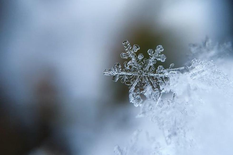
While southeast Wyoming can expect the first of two waves of winter weather on Thursday, there should be relatively little impact other than colder temperatures and some light to moderate snowfall that will likely melt off quickly.

Laramie Live logo
Get our free mobile app

That's according to the Cheyenne Office of the National Weather Service.

The agency says daytime temperatures in both Cheyenne and Laramie on Saturday probably won't crack the freezing mark with overnight lows approaching or in the single digits.


Areas of snow plus cold temperatures could combine for areas of minor travel impacts early Saturday Morning into Saturday evening for the highlighted areas. Freezing temperatures plus light snowfall could cause local pockets of travel impacts Saturday. Greater chances of these local impacts in the yellow and red areas.

Here is the forecast for Cheyenne:

Today 

A 20 percent chance of rain after 3pm. Patchy dense fog before 8am. Otherwise, partly sunny, with a high near 54. Northeast wind 5 to 15 mph becoming south in the afternoon.

Tonight
A slight chance of rain and snow before 8pm, then a slight chance of snow between 8pm and midnight. Mostly cloudy, then gradually becoming mostly clear, with a low around 18. Blustery, with an east wind 10 to 20 mph becoming north northwest after midnight. Chance of precipitation is 20%.
Friday
Sunny, with a high near 41. North northwest wind 5 to 15 mph becoming south southeast in the afternoon.
Friday Night
A 20 percent chance of snow after midnight. Mostly cloudy, with a low around 21. South southeast wind around 10 mph.
Saturday
Snow. High near 26. East southeast wind 10 to 15 mph becoming north northeast in the afternoon. Chance of precipitation is 90%.
Saturday Night
Snow. Low around 11. Chance of precipitation is 80%.
Sunday
Mostly sunny, with a high near 28.
Sunday Night
Mostly clear, with a low around 8.
Monday
Sunny, with a high near 40.
Monday Night
Partly cloudy, with a low around 15.
Tuesday
Sunny, with a high near 40.
Tuesday Night
Mostly clear, with a low around 20.
Wednesday
Sunny, with a high near 53.
Here is the Laramie forecast:
Today
A chance of sprinkles before 3pm, then a chance of rain showers between 3pm and 5pm, then a chance of snow after 5pm. Partly sunny, with a high near 55. Breezy, with a southwest wind 15 to 20 mph increasing to 20 to 25 mph in the afternoon. Winds could gust as high as 35 mph. Chance of precipitation is 40%.
Tonight
A chance of flurries before 9pm, then a slight chance of snow between 9pm and midnight. Mostly clear, with a low around 23. Blustery, with a northwest wind 15 to 25 mph decreasing to 5 to 15 mph after midnight. Winds could gust as high as 30 mph. Chance of precipitation is 20%.
Friday
Sunny, with a high near 42. West southwest wind 5 to 10 mph becoming south in the afternoon.
Friday Night
A 30 percent chance of snow after midnight. Mostly cloudy, with a low around 21. South wind 5 to 15 mph.
Saturday
Snow. High near 24. East southeast wind 5 to 15 mph becoming northeast in the afternoon. Chance of precipitation is 80%.
Saturday Night
Snow. Low around 9. Chance of precipitation is 80%.
Sunday
A 20 percent chance of snow before noon. Mostly sunny, with a high near 22.
Sunday Night
Mostly clear, with a low around 8.
Monday
Sunny, with a high near 33.
Monday Night
Partly cloudy, with a low around 14.
Tuesday
Sunny, with a high near 34.
Tuesday Night
Mostly clear, with a low around 20. Breezy.
Wednesday
Sunny, with a high near 44. Breezy.

Cheyenne Barnes & Noble Now Open

Check out photos from the newly reopened Cheyenne Barnes & Noble!

Gallery Credit: Phylicia Peterson, Townsquare Media Laramie/Cheyenne

More From Laramie Live