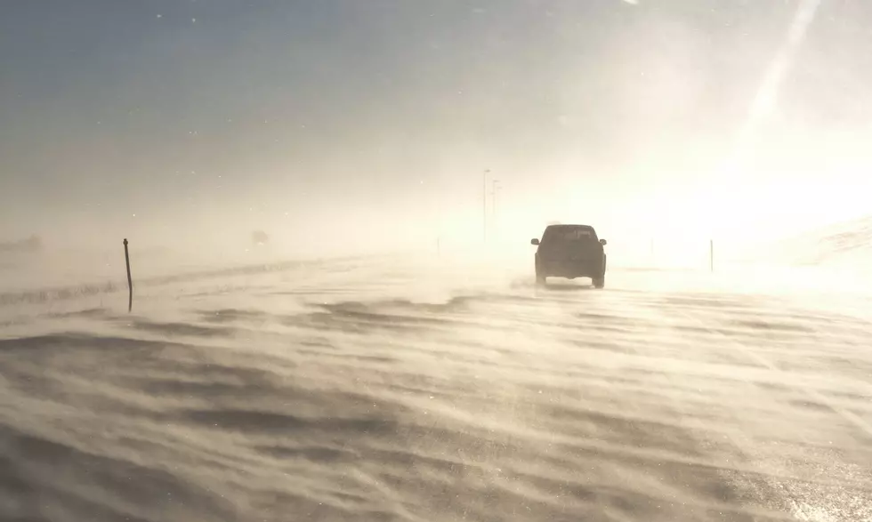
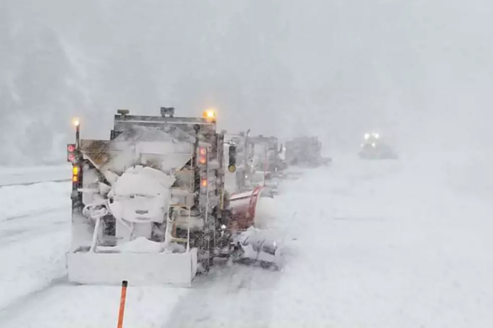
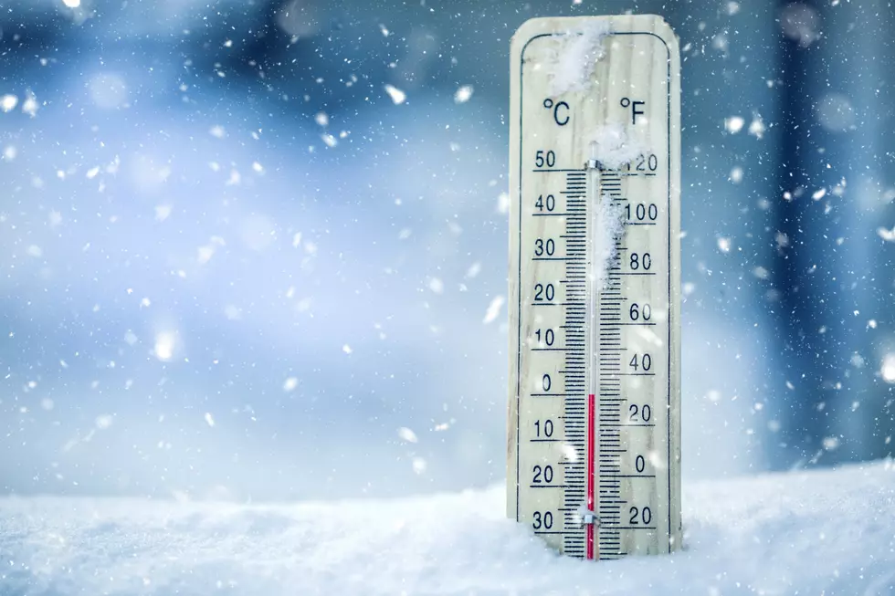
Winter Storm Watches Posted For SE Wyoming, Nebraska Panhandle
A winter storm watch has been posted for parts of SE Wyoming and the Nebraska Panhandle starting on Friday evening.
As of Thursday morning, Cheyenne was not included in the watch area, but parts of eastern Laramie County, as well as Lusk and Torrington, were covered by the watch.
Cheyenne-based meteorologist Don Day. Jr. of Dayweather Inc. in Cheyenne offered these comments:
"Looks like a winter storm late Friday night/Saturday for extreme eastern WY, all of Nebraska/South Dakota and northeastern CO, not a lot of snow, but bad combination of wind, snow and much colder temperatures.....places like Casper will likely only be brushed but Laramie, Cheyenne, Scottsbluff, etc., will have travel issues, especially I80 Laramie to across NE and I90 in South Dakota."
The Cheyenne Office of the National Weather Service posted this statement on its website:
''Post-holiday travelers…HEADS UP as confidence is increasing for heavy snow chances across the Nebraska Panhandle into the Central Great Plains. Winter Storm Watches are in effect for Friday late afternoon through Sunday morning for far eastern Laramie County, Goshen County, and Niobrara County in Wyoming and all of the Nebraska Panhandle. Areas east of the orange dashed line have the greatest chance to see snowfall totals of 5-8” with higher localized totals especially along the Pine Ridge area between Harrison and Chadron. Slick to snow-covered roads may impact travelers especially along Interstate 80 in Nebraska so take the time today to adapt travel plans accordingly, so you can get to your destination safely. Follow the forecast at weather.gov/Cheyenne as headlines change as we get closer to Friday afternoon
More From Laramie Live