Snow Predicted For Cheyenne and Laramie, Summit Faces Storm Watch

While summer-like weather is expected in southeast Wyoming and the Nebraska Panhandle on Wednesday and Thursday, a change for the colder is on the way towards the end of the week.
That's according to the Cheyenne Office of the National Weather Service.
The agency posted this statement on its website:
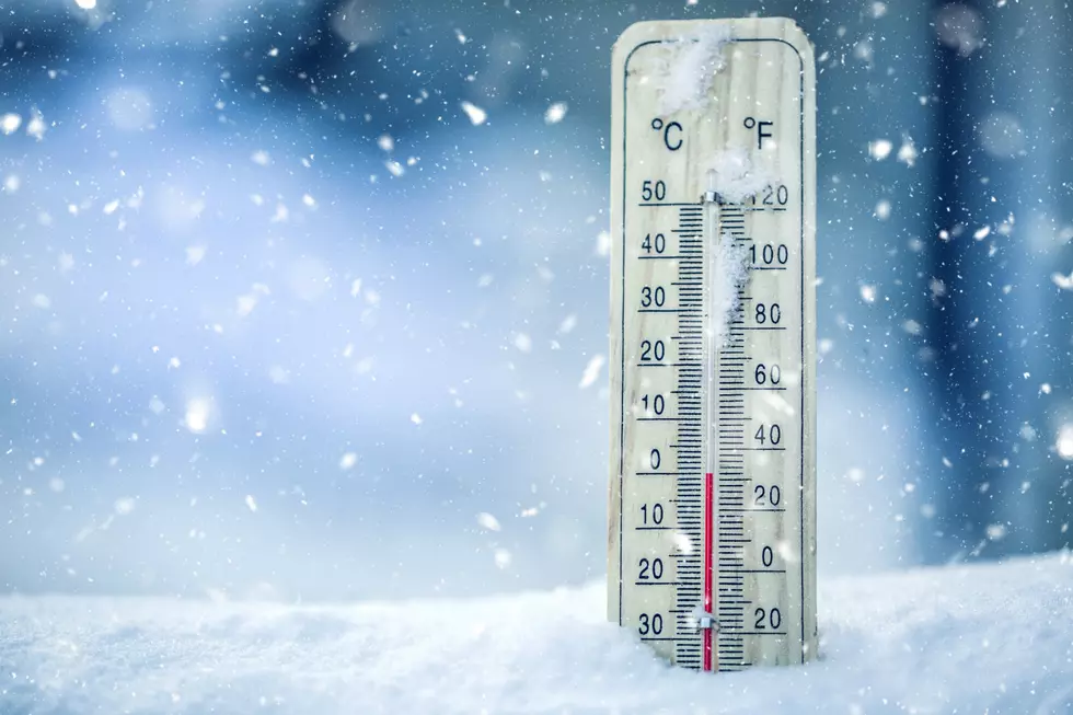
Looks to be a warm and dry middle of the week for southeast Wyoming and the Nebraska Panhandle with windy conditions. Thursday will be the windier of the two with high winds possible for the typical wind-prone locations, while afternoon temperatures may reach the mid-80s across the southern Nebraska Panhandle. A cold front will pass through the region late Thursday afternoon dropping temperatures significantly. Overnight temperatures into early Friday morning may even drop below the freezing mark and possibly dip into the 20s Saturday morning. In addition to the colder weather, accumulating snowfall will be possible along and west of the Laramie Range Friday. Areas farther east over the Nebraska Panhandle will mostly see snow, but a few snowflakes may mix in Friday night. We will keep you posted as more details become available and for the latest forecast, check weather.gov/cys
The forecast for Cheyenne on Friday says "Snow Showers Likely and Breezy."
Laramie's forecast is similar: "Snow showers likely." Both communities also have a chance of snow on Friday night, and Laramie could see snow again on Saturday.
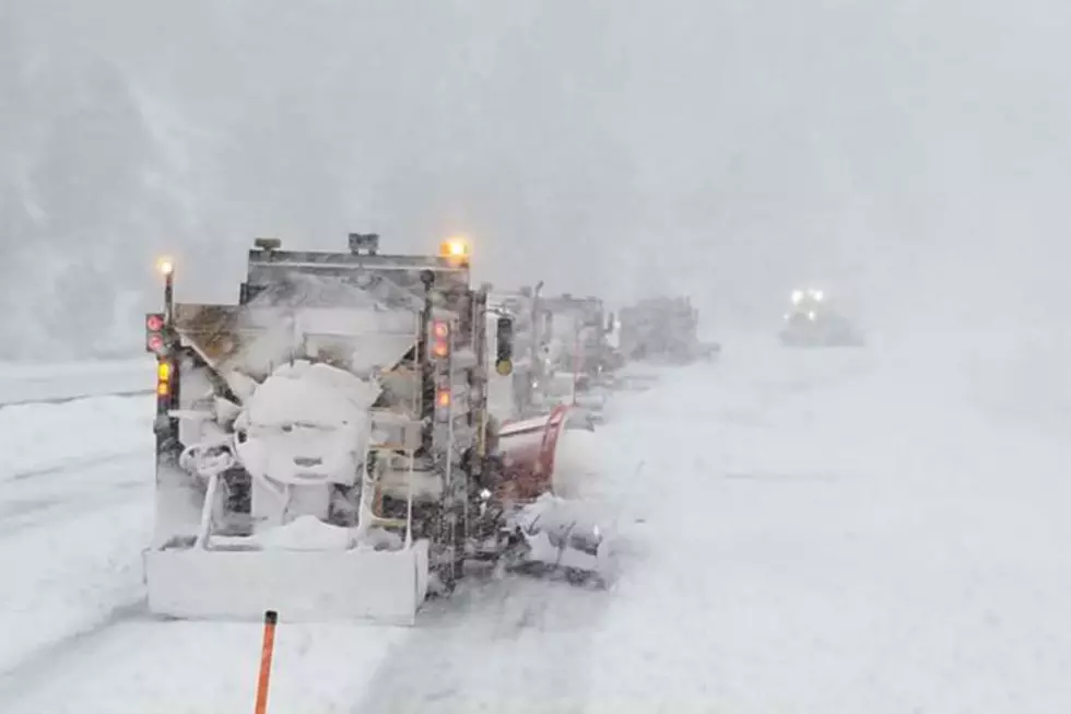
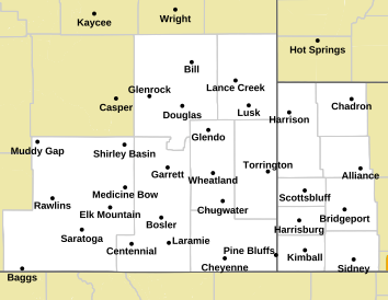
Meanwhile, a Winter Storm Watch has been posted for some areas of southeast Wyoming, including the summit on I-80 between Cheyenne and Laramie.
The areas in blue on the map below are included in that watch:
Check Out These Incredible Photos Of the 'Blood Moon' Lunar Eclipse in Wyoming
More From Laramie Live