USGS Now Lists Yellowstone Super-volcano as a Moderate Threat
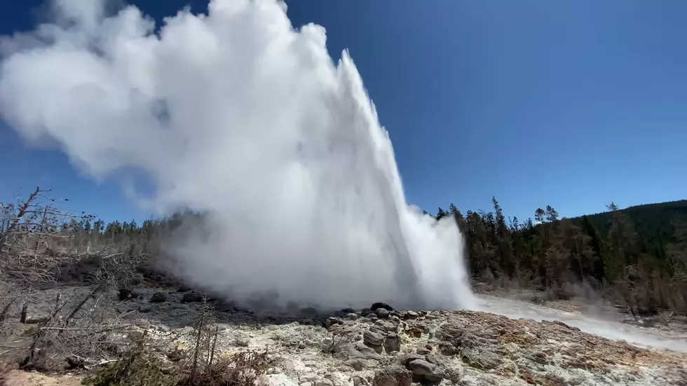
The USGS recently updated their volcano threat assessment for the first time in 14 years. They now list the Yellowstone super-volcano as a moderate threat.
This is a very detailed report and I can understand why the USGS doesn't do this more often. They document pretty much every known volcano in America. I'll let the smart scientists at the USGS describe what this report means in their exact words from the study:
When erupting, all volcanoes pose a degree of risk to people and infrastructure, however, the risks are not equivalent from one volcano to another because of differences in eruptive style and geographic location. Assessing the relative threats posed by U.S. volcanoes identifies which volcanoes warrant the greatest risk-mitigation efforts by the U.S. Geological Survey and its partners.
I'll translate that into what I think that means. Basically, they are rating volcanoes based on their perceived activity and how much of the population would be at risk if it were to erupt. Maybe.
If you want to look at the ranking of dangerous volcanoes, skip ahead to page 16 of the document shared by the USGS. If you do, you'll see this:
The good news for us is that Yellowstone is not listed in the red area of most dangerous volcano threats. It's in the moderate threat risk area just barely missing the very high threat volcanoes. The global consequences of Yellowstone are obviously severe, but the USGS doesn't seem to think an eruption threat is imminent.
The very high threat volcanoes include Kilauea, Mt. St. Helens and Mt. Rainier. Mt. Rainier's proximity to Seattle is something that definitely seems like a major concern to the USGS.
This new USGS study is an interesting read that shows how dangerous (or not) volcanoes all over the country might be.
More From Laramie Live


