National Weather Service Cautions Winter Weather for Northcentral Wyoming
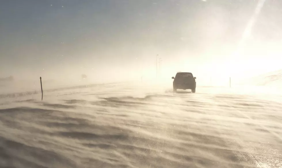
A strong cold front will bring snow and much colder temperatures to Western and Central Wyoming tonight through Monday, according to a special weather statement from the National Weather Service office in Riverton on Sunday morning.
The lower elevations of Natrona County are forecast to receive a total of 3 inches to 5 inches, and 6 inches to 8 inches of snow is possible for Casper Mountain.
The Green Mountains and Rattlesnake Range are expected to receive 2 inches to 4 inches.
The Casper area will see a chance of rain and snow showers between 11 p.m. and 1 a.m., then snow showers likely. New snow accumulation of less than 1 inch is possible. Winds could gust as high as 21 mph.
Snow showers will continue Monday with possible new accumulation of 2 inches to 4 inches.
Elsewhere, winter weather advisories are in effect from northern Albany County to the Montana border and east to the South Dakota and Nebraska state lines.
However, winter storm warnings are in effect for northwestern Natrona County into Johnson and Sheridan counties and eastern Big Horn and Washakie counties.
The National Weather Service cautions that roads may be slick and snow-covered for the Monday morning commute. Warm surface temperatures and higher sun
angle will cause roads to be mainly wet.

Casper Mountain As It Was 100 Years Ago
Casper Mountain as it Was Over 100 Years Ago
Gallery Credit: Wyoming State Archives, Department of State Parks and Cultural Resources
More From Laramie Live