How Medicine Bow National Forest Got Its Name
Medicine Bow National Forest is located in south-central Wyoming extending into Colorado. It is one of the Cowboy State's natural crown jewels. It started life as Medicine Bow Forest Reserve when it was designated by President Theodore Roosevelt in May of 1902. The legendary origin of the name goes way back.
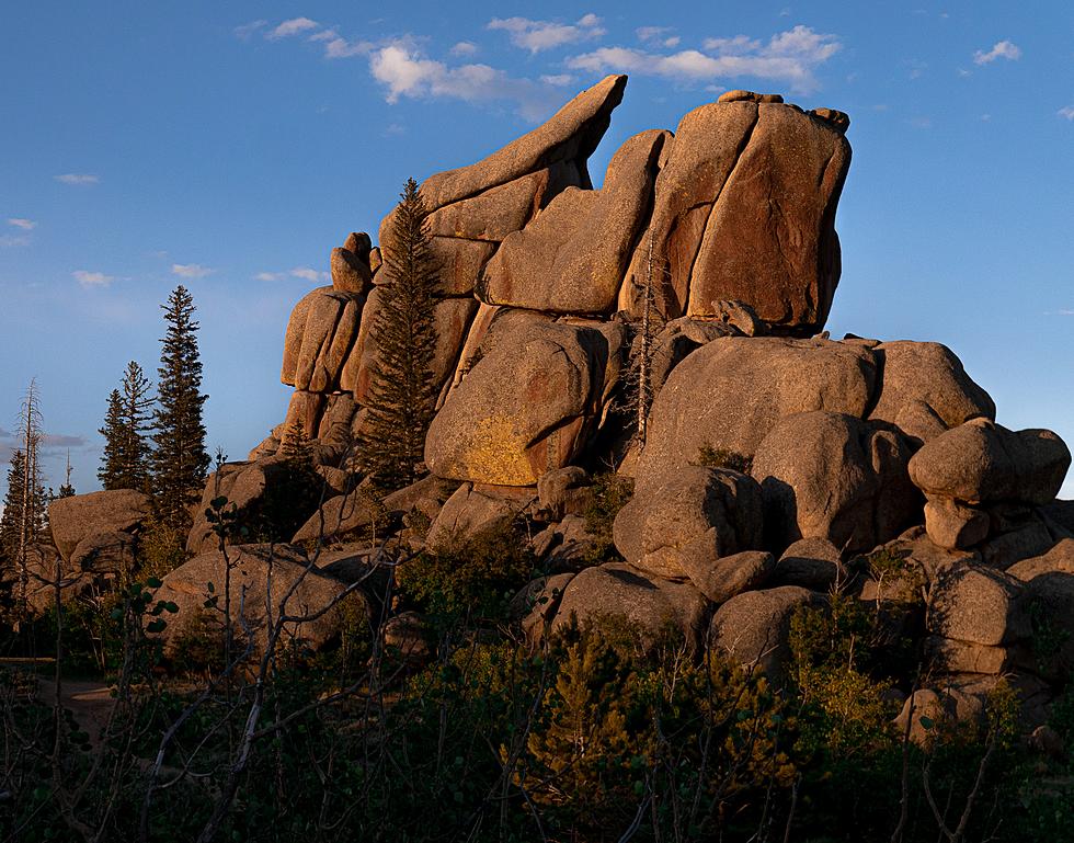
Along with forest, Medicine Bow includes several mountain ranges of the Rocky Mountains: Gore Range, Flat Tops, Parks Range, Medicine Bow Mountains, Sierra Madre, and Laramie Range.
At these assemblies, there were ceremonial powwows for the cure of disease which, in the hybrid speech that developed between the Indians and the early settlers, was known as making –medicine. Eventually, the settlers associated the terms “making-medicine” and “making bow”, and Medicine Bow resulted as the name for the locality. - US Forest Service
The name gained a foothold in popular culture thanks to Owen Wister's Wyoming-Territory set novel, The Virginian
Along with forest, Medicine Bow includes several mountain ranges of the Rocky Mountains: Gore Range, Flat Tops, Parks Range, Medicine Bow Mountains, Sierra Madre, parts of the Snowy Range, and Laramie Range.
The National Forest includes Medicine Bow Peak in the Medicine Bow Mountains. The mountain is the highest point in southern Wyoming at 12,018 feet tall.
Thunder Basin National Grassland and the Routt National Forest (named for John N. Routt, the last territorial governor and first state governor of Colorado) are also part of Medician Bow.
In 1993, the consolidation of the Medicine Bow National Forest and Thunder Basin National Grassland with the Routt National Forest was proposed. The Chief of the Forest Service approved the consolidation in February 1995, and the forests were administratively combined. - US Forest Service
The story of the town of Medicine Bow started as another bustling transcontinental stop west of Cheyenne. The population, though, decreased in the post-Lincoln Highway era, when I-80 went around it.

MORE:
The History of Presidential Elections in Wyoming
More From Laramie Live


