Cheyenne NWS: One More Cool, Dreary Day For SE Wyoming
The Cheyenne Office of the National Weather Service is predicting one more cool, dreary day for southeast Wyoming before nicer weather moves in for the weekend.
The agency posted these statements on its website on Wednesday:
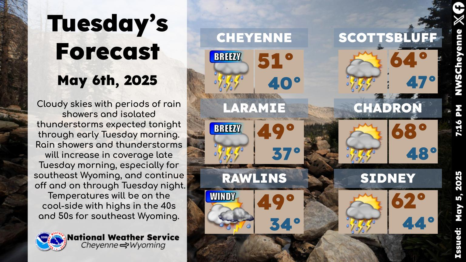
"Good morning! Southeast Wyoming and Nebraska Panhandle can expect cloudy skies today with rain easing through the afternoon. The low pressure system that brought us all the rain is moving slowly east and should be far enough east for most rain to come to an end by sunset. Highs today will range from 48 at Laramie to 64 at Chadron. Cloudy skies tonight with cold overnight temperatures. Lows will range from 30 at Laramie to 42 at Bridgeport."
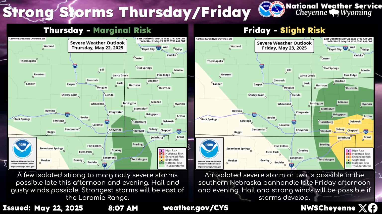 Anyone tired of the rain yet? We certainly are! That's why we're happy to report that we have a drier (and warmer) forecast for southeast Wyoming and Nebraska Panhandle. Thursday could be an active day thunderstorm-wise with just about everybody seeing at least a small chance of afternoon and early evening thunderstorms. After Thursday, the weather across the area should be dry outside the mountains. Friday and Saturday should be pretty nice with 70s east of the Laramie Range and 60s west. Next cold front approaches the area Sunday for our next better chance of showers and thunderstorms. The Nebraska Panhandle and southeast Wyoming Plains could see a few severe storms Sunday afternoon and evening. A beautiful day expected Monday next week with sunny skies and temperature climbing into the 70s area wide. The Nebraska Panhandle could see mid 80s Monday afternoon. Hopefully with the drier weather we're seeing, most areas can dry out some from our recent heavy rainfall.
More From Laramie Live