Cheyenne, Much of SE Wyoming Face Possible Strong Winter storm
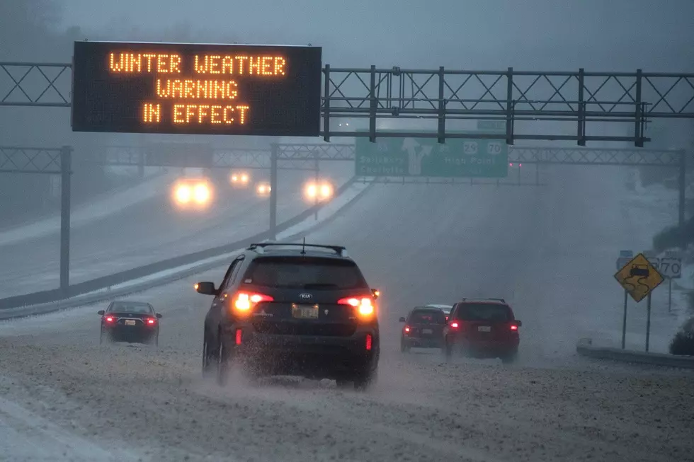
What had been a Winter Storm Watch for Cheyenne and much of southeast Wyoming in connection with a cold front expected to hit the area tonight has now been upgraded to a Winter Storm Warning in effect late Monday night through Wednesday morning, according to the Cheyenne Office Of The National Weather Service.
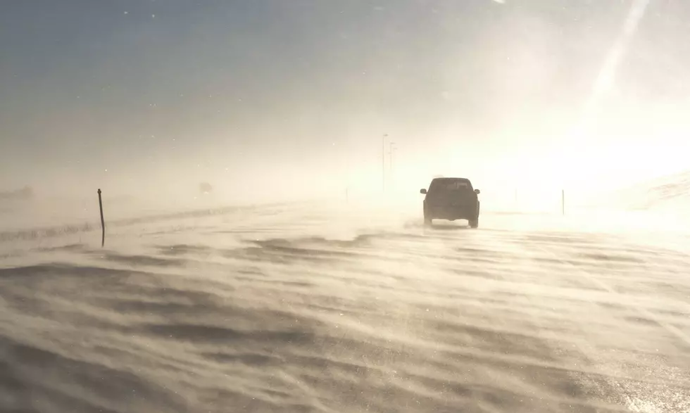
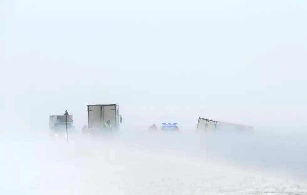
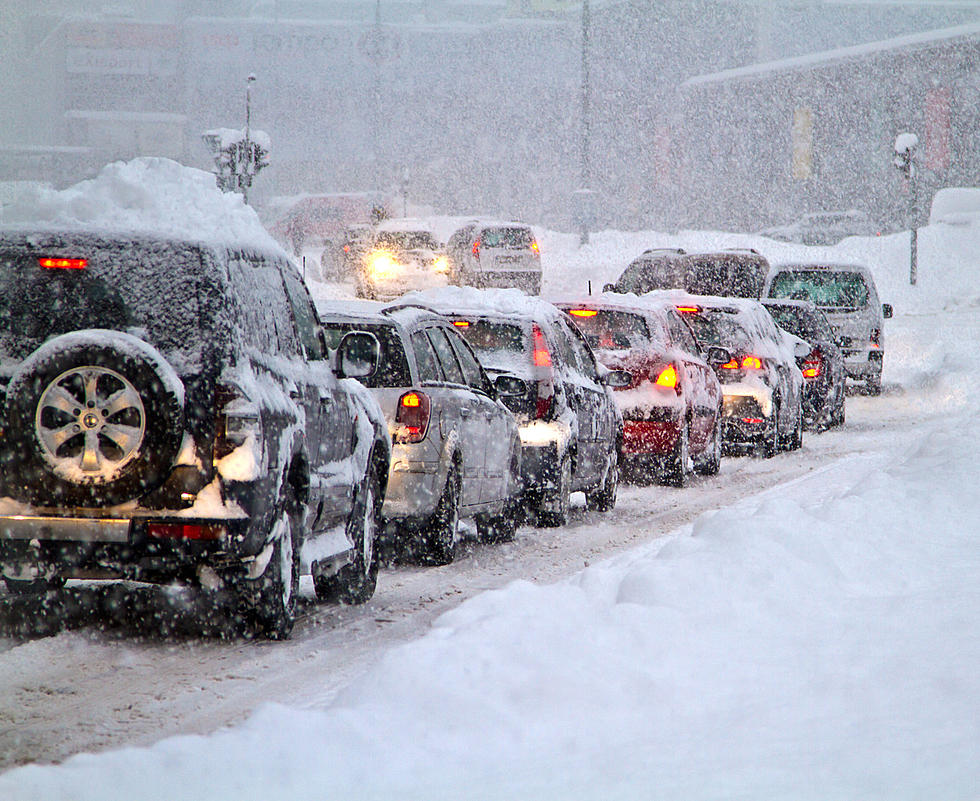
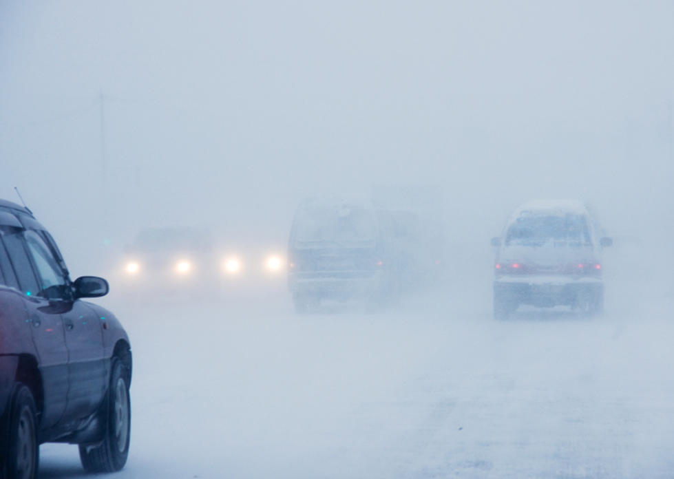
As much as ten inches of snow and wind gusts of up to 50 mph are possible in some areas, according to forecasters.
The agency posted this statement on its website on Monday morning:
5AM/September 7th: OH SNOW!!! Mother Nature has a weird sense of humor to start early September! Winter Storm Warnings and Winter Weather Advisories are in effect for portions of Southeast Wyoming and the Nebraska Panhandle beginning overnight tonight through Wednesday morning. Rain will quickly change over to snow behind a strong cold front. Temperatures will DROP rapidly! The first onset of snow showers will melt-limiting the initial window of accumulation. BUT, in the areas that receive the moderate to heavy snowfall rates, the snow will accumulate rapidly. This is a very strong weather system that has the potential to cause major impacts for early September in localized areas. Strong gusty winds of 25-35mph are possible with this wintry weather, with gusts up to 45-50mph along I-80 between Rawlins and Laramie. Snowfall totals have been adjusted to account for initial snowmelt, and areas of higher uncertainty have been highlighted due to the mountain shadowing effect for Laramie, North Platte River Valley, and Pine Ridge area near Chadron. Please note that snowfall totals will NOT equal snow depth. Very cold temperatures Tuesday night into Wednesday morning are likely, especially in areas with the most snow. Check road conditions prior to venturing out. Dial 511 or visit wyoroad.info or 511.nebraska.gov for the latest road information.
TEXT OF WINTER STORM WARNING:
URGENT - WINTER WEATHER MESSAGE
National Weather Service Cheyenne WY
409 AM MDT Mon Sep 7 2020

...EARLY SEASON STORM TO BRING WIDESPREAD ACCUMULATING SNOW AND
VERY COLD TEMPERATURES TO MUCH OF THE AREA TONIGHT THROUGH EARLY
WEDNESDAY...

WYZ106-116>118-080000-
/O.UPG.KCYS.WS.A.0012.200908T0600Z-200909T1200Z/
/O.NEW.KCYS.WS.W.0018.200908T0600Z-200909T1200Z/
Central Laramie Range and Southwest Platte County-
South Laramie Range-South Laramie Range Foothills-
Central Laramie County-
Including the cities of Bordeaux, Buford, Pumpkin Vine, Vedauwoo,
Whitaker, Federal, Horse Creek, and Cheyenne
409 AM MDT Mon Sep 7 2020

...WINTER STORM WARNING IN EFFECT FROM MIDNIGHT TONIGHT TO 6 AM
MDT WEDNESDAY...

* WHAT...Heavy snow and blowing snow expected. Total snow
  accumulations of 5 to 10 inches expected, with locally higher
  amounts possible over the Interstate 80 Summit. Wind gusts 35 to
  45 MPH.

* WHERE...Interstate 80 Summit and Foothills between Laramie and
  Cheyenne, Interstate 25 between the Colorado State Line and
  Glendo. Cities or communities impacted include but are not
  limited to Cheyenne, Chugwater, Wheatland and Glendo.

* WHEN...Midnight tonight through 6 AM MDT Wednesday.

* IMPACTS...Dangerous travel conditions due to icy, snow covered
  roads and low visibilities in falling and blowing snow. Damage
  may occur to trees and power lines, possibly leading to power
  outages. The worst conditions will occur during the morning
  commute on Tuesday.

* ADDITIONAL DETAILS...There will be a flash freeze as the cold
  front passes on Monday evening. Temperatures will fall from the
  60s to the 20s in under 4 hours, and will remain below freezing
  through Wednesday morning. This will officially end the growing
  season.

PRECAUTIONARY/PREPAREDNESS ACTIONS...

If you must travel, keep an extra flashlight, food, and water in
your vehicle in case of an emergency.

The latest road conditions for the state you are calling from can
be obtained by calling 5 1 1.

5 of the Biggest Spring Blizzards In Wyoming History
More From Laramie Live