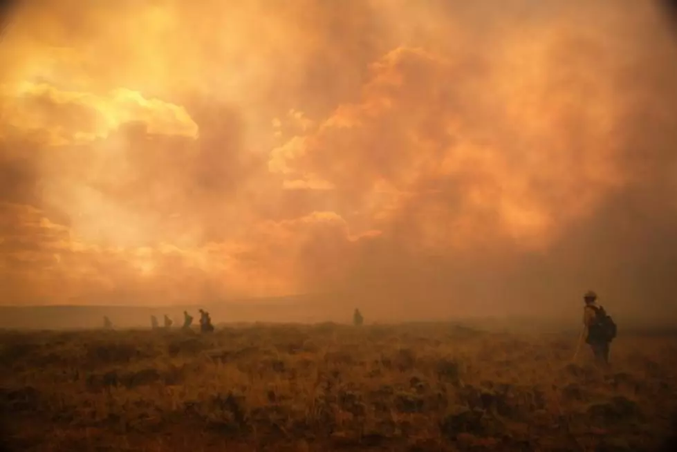
Badger Creek Fire Burn Severity Map Released
Specialists with the Forest Service Burned Area Emergency Response recently finished collecting data and verification field work of the Badger Creek Fire burn area and have compiled a Soil Burn Severity Map.
The BAER compiles the map and use the soil burn severity information to determine if there are any areas where soil erosion, increased surface water run-off and debris flows could potentially impact people’s life, safety, property and critical natural and cultural resources. The BAER is made up of scientists and specialists that help with emergency stabilization for those areas.
According to the map, about 54 percent of the 20,302 acres analyzed by the BAER team is considered unburned, or has low soil burn severity. Thirty-six percent of the area sustained a moderate soil burn severity and 10 percent burned at a high soil burn severity.
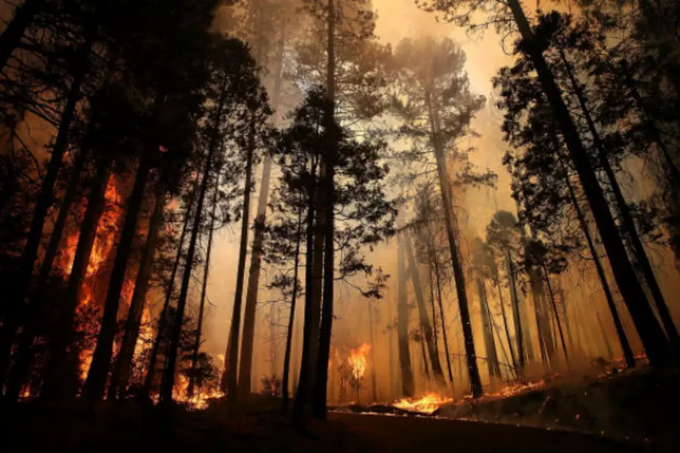
Forest Service Public Affairs Specialist Aaron Voos said most people never get to see a fire burn area from the air and a burn map can help give people a perspective on what a fire really is and does.

“A lot of people thing of a fire as one big wall of flame coming through, consuming everything in its path, leaving everything black and charred,” Voos said. “The map really serves the purpose of telling the story of what a wildfire actually looks like. Every one is different.”
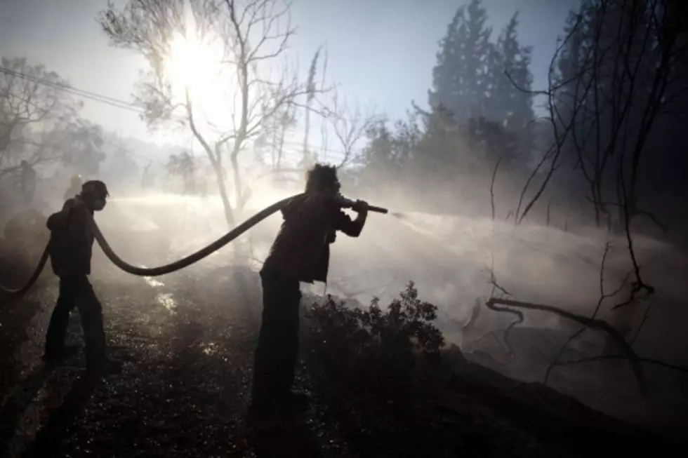
Since 46 percent of the burned area experienced moderate or high soil burn severity, BAER specialists say they are expecting erosion and run-off within the Badger Creek Fire area. Particularly, BAER specialists say there is a concern for run-off from steep hillslopes and increases in post-fire erosion, flooding and debris flows. Voos said those concerns are not short-term.
“It’s important to think about a fire as a long term event,” Voos said. “The fire happens, there’s an impact to the resource and to the landscape and that impact goes on for years after the flames are extinguished.”
Voos said that impacts are often seen for years, such as in the case of the Squirrel Creek Fire that occurred six years ago. He said impacts on soil erosion and debris flows are still being seen.
The BAER team said in the report that everyone near and downstream from the burned areas should remain alert and stay updated on weather conditions that could result in heavy rains over the burn scar, saying that flash flooding may occur quickly during heavy rain events.
Voos said that in the areas with low soil burn severity should return fairly quickly and there should be good regrowth from grass and aspen.
Current weather conditions can be found at the National Weather Service website.
The Badger Creek Fire is currently 93 percent contained, according to InciWeb. A version of the map can be downloaded at the interagency “Rocky Mountain Region-2018 Post-Fire BAER” InciWeb site under the “maps” tab.
More From Laramie Live