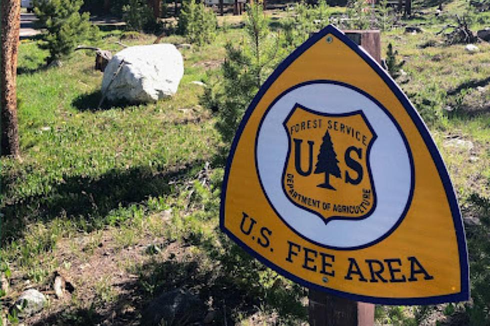
U.S. Forest Fees to Increase for Better Outdoor Wyoming FunU.S. Forest Fees to Increase for Better Outdoor Wyoming FunIncreased fees are coming...for a good cause.Nicole SherwoodNicole Sherwood
UPDATE: Man Killed in Snowmobile Crash in Snowy Range IdentifiedUPDATE: Man Killed in Snowmobile Crash in Snowy Range IdentifiedA Florida man killed in a snowmobile crash in southeast Wyoming's Snowy Range earlier this month has been identified.Joy GreenwaldJoy Greenwald
1 Dead After Snowmobile Crash in Southeast Wyoming's Snowy Range1 Dead After Snowmobile Crash in Southeast Wyoming's Snowy RangeA man is dead following a snowmobile crash in southeast Wyoming's Snowy Range, the Albany County Sheriff's Office says.Joy GreenwaldJoy Greenwald
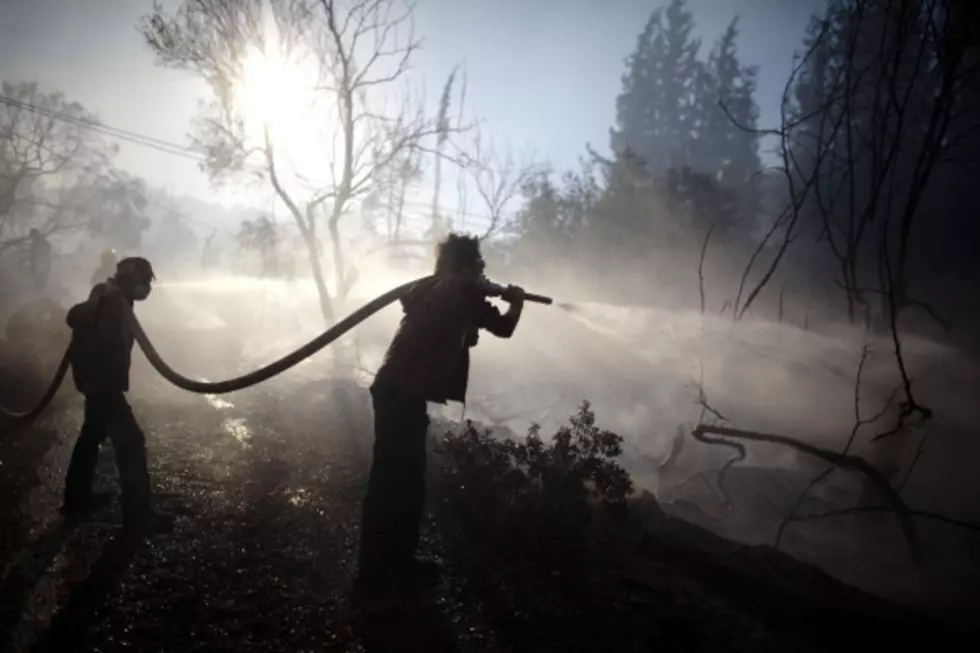
Human-Caused Fire Burning in Bridger-Teton National ForestHuman-Caused Fire Burning in Bridger-Teton National ForestFire danger in the area is currently high. Zach SpadtZach Spadt
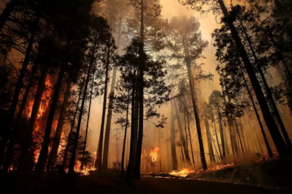
Investigators Seek Help in Solving Wyoming Forest Fire StartInvestigators Seek Help in Solving Wyoming Forest Fire StartInvestigators determined the blaze originated from an abandoned warming fire in the upper reaches of the Hoback River drainage. Associated PressAssociated Press
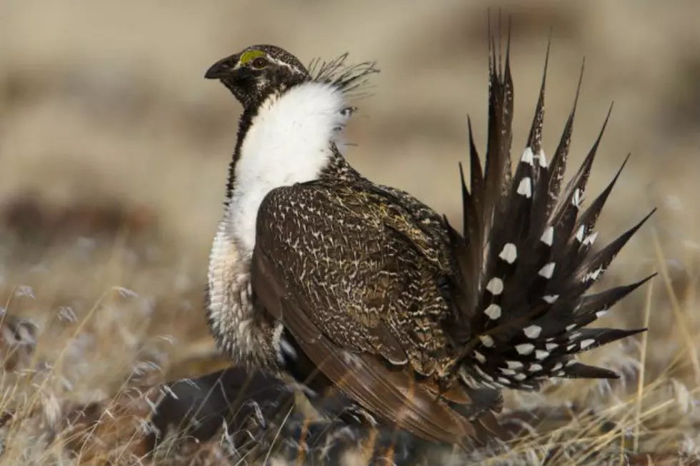
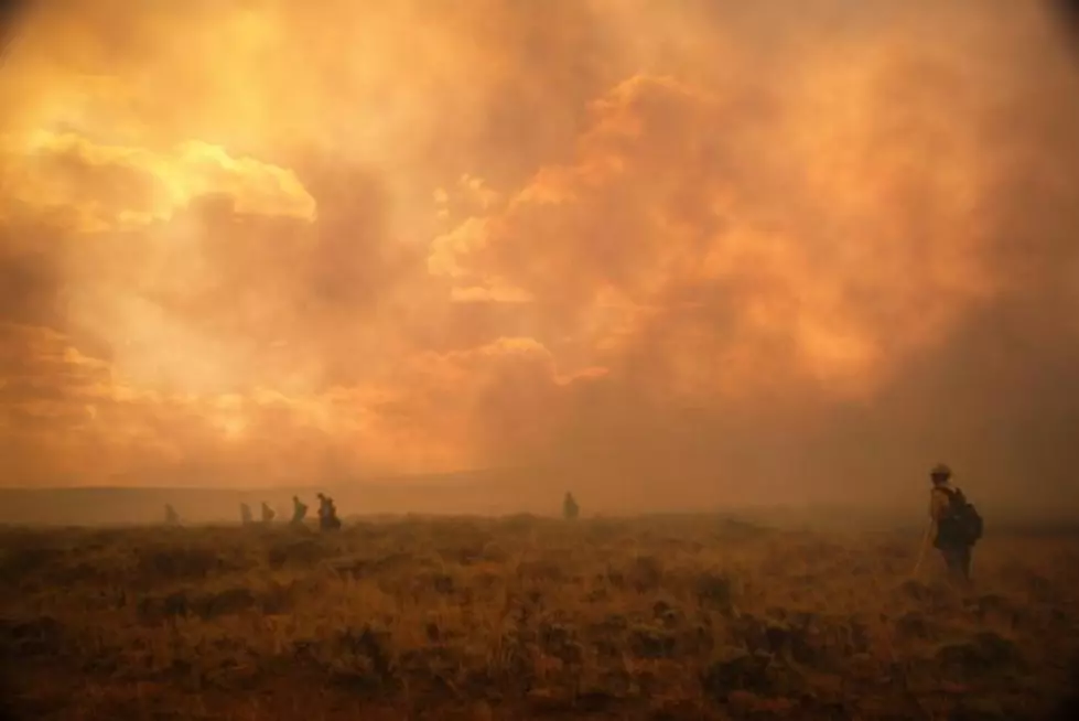
Forest Service Advances Changes to Sage Grouse ProtectionsForest Service Advances Changes to Sage Grouse ProtectionsThe Forest Service is taking public comments on the new plan for 90 days.Associated PressAssociated Press
U.S. Forest Service: Ryan Fire In Southern Wyoming Is Human-CausedU.S. Forest Service: Ryan Fire In Southern Wyoming Is Human-CausedForest Service law enforcement received information from the public, but needs more.Tom MortonTom Morton
Burn Severity MapBurn Severity MapSpecialists with the Forest Service Burned Area Emergency Response recently finished collecting data and verification field work of the Badger Creek Fire burn area and have compiled a Soil Burn Severity Map.Sara TeterSara Teter
New Fires New Fires Two new, smaller fires have started in the vicinity of the Badger Creek Fire and fire resources are on the scene.Sara TeterSara Teter
Agency Pulls Some Idaho, Wyoming Snowmobile Maps After SuitAgency Pulls Some Idaho, Wyoming Snowmobile Maps After SuitBut the agency says there will be no change to over-snow motor vehicle use in those areas this winter.Associated PressAssociated Press