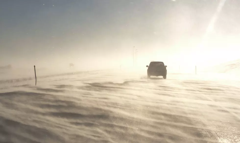
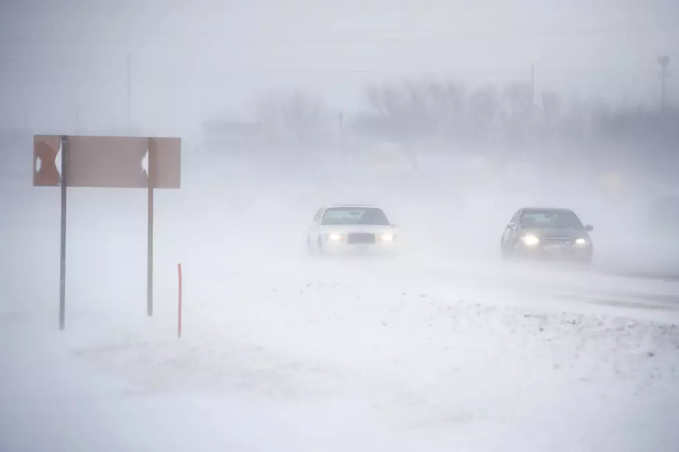
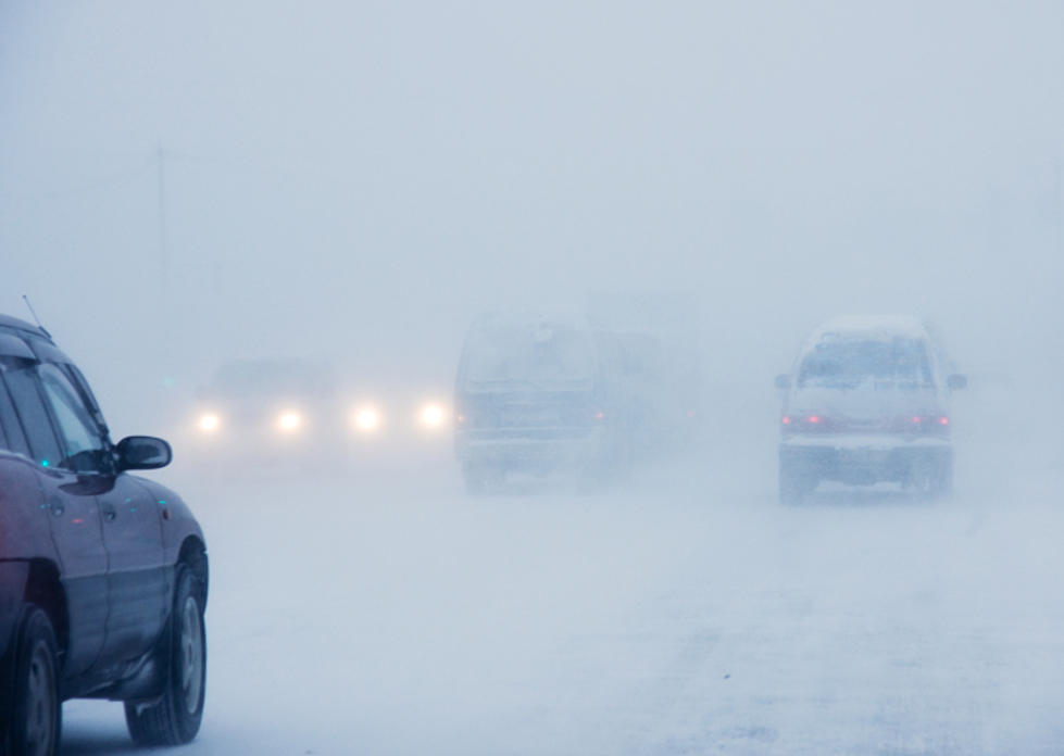
60 MPH Winds, Ping-Pong Ball Size Hail Possible In SE Wyoming Thursday
Carey Unruh
The Cheyenne Office of the National Weather Service says severe storms, possibly featuring ping-pong ball size hail and 60 mph winds are possible in southeast Wyoming this afternoon.
The agency released this weather statement on Thursday morning:
There is a Marginal Risk (level 1 out of 5) and a Slight Risk (level 2 out of 5) of severe thunderstorms across portions of far east Wyoming and the Nebraska Panhandle today. Please see attachments of these areas and more refined locations and timing that could be near the stronger storms through the day.
Here are the current weather event impact highlights:
- What: Scattered thunderstorms expected this afternoon to mid-evening with a few being strong to briefly severe.
- Timing: from 2pm through 11pm
- Main Hazards:
- 60mph winds
- Localized quarter to ping-pong size hail in the strongest storms
- A brief landspout tornado can't be fully ruled out
- Storms will decrease in coverage and intensity by 10pm to 11pm as they move northeast out of the area.

LOOK: Answers to 30 common COVID-19 vaccine questions
While much is still unknown about the coronavirus and the future, what is known is that the currently available vaccines have gone through all three trial phases and are safe and effective. It will be necessary for as many Americans as possible to be vaccinated in order to finally return to some level of pre-pandemic normalcy, and hopefully these 30 answers provided here will help readers get vaccinated as soon they are able.
More From Laramie Live