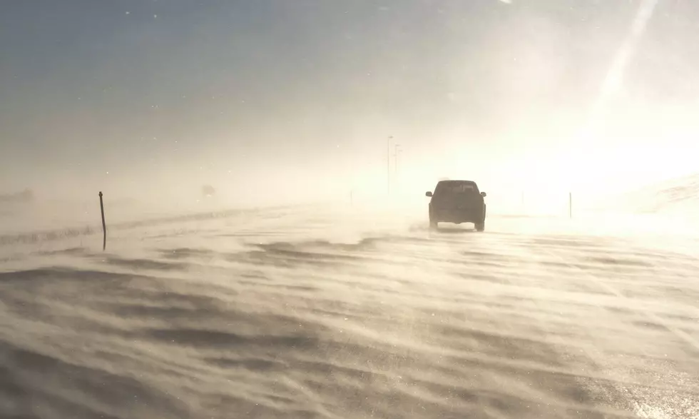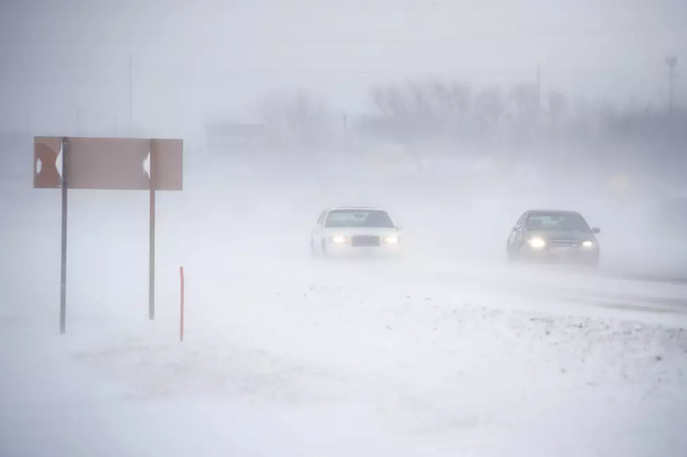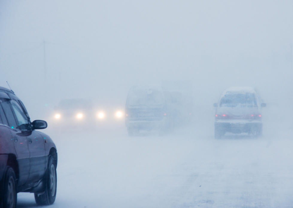
Winter Storm Warning, Winter Weather Advisory For SE Wyoming
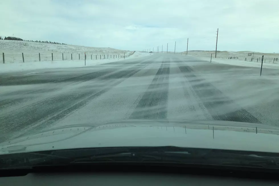
A winter storm is working its way into south-central and southeast Wyoming, potentially making travel conditions difficult for today and Saturday.
That's according to the Cheyenne Office of the National Weather Service. The agency posted this statement on its website:
''A winter storm has begun making its way into southeast Wyoming with Winter Storm Warnings already in effect for the Snowy and Sierra Madre Mountain Ranges and snowfall already impacting areas of Carbon County. Snow and the hazardous weather threat will spread east, with a Winter Storm Warning going into place at 6 AM Friday morning over the I-80 Summit and Southern Laramie Range Foothills and a Winter Weather Advisory going into place for the North Laramie Range. Rain showers east of the Laramie Range will gradually change over to snow around noon, when the Advisory will expand further east, encompassing the I-25 corridor of southeast Wyoming. The Panhandle will switch over after 6 PM Friday evening. Snow will be moderate to heavy at times, creating several travel hazards across the region including slick and snow- packed roads, and reduced visibility. Winds will increase early Saturday morning in as the system moves east into the Plains Region, for areas of blowing snow. Precipitation will end by mid-morning Saturday. As model guidance has been inconsistent and has varied greatly between models, this is a generally low confidence forecast, so please stay tuned as we gain confidence over the course of the event.''
More From Laramie Live