NWS Cheyenne: Afternoon Storms Could Bring Strong, Erratic Winds
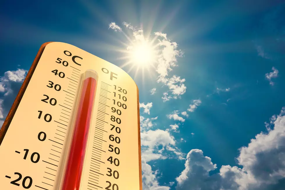
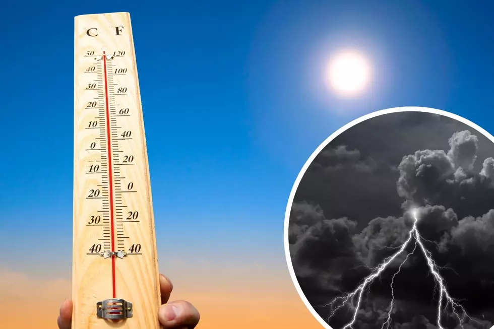
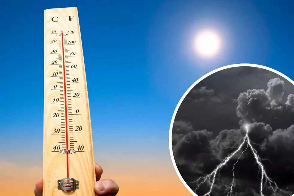
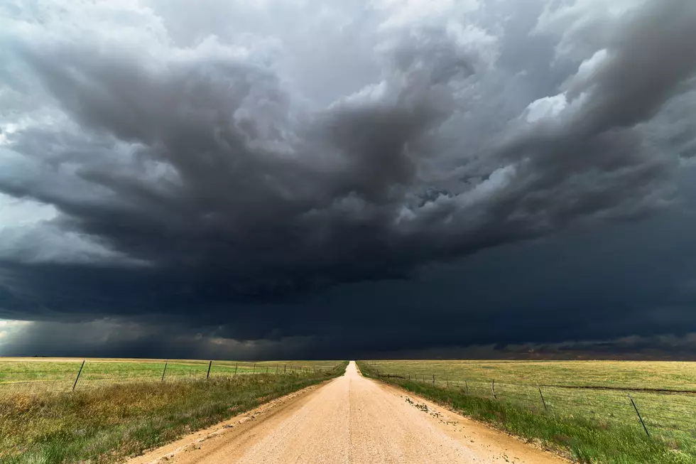
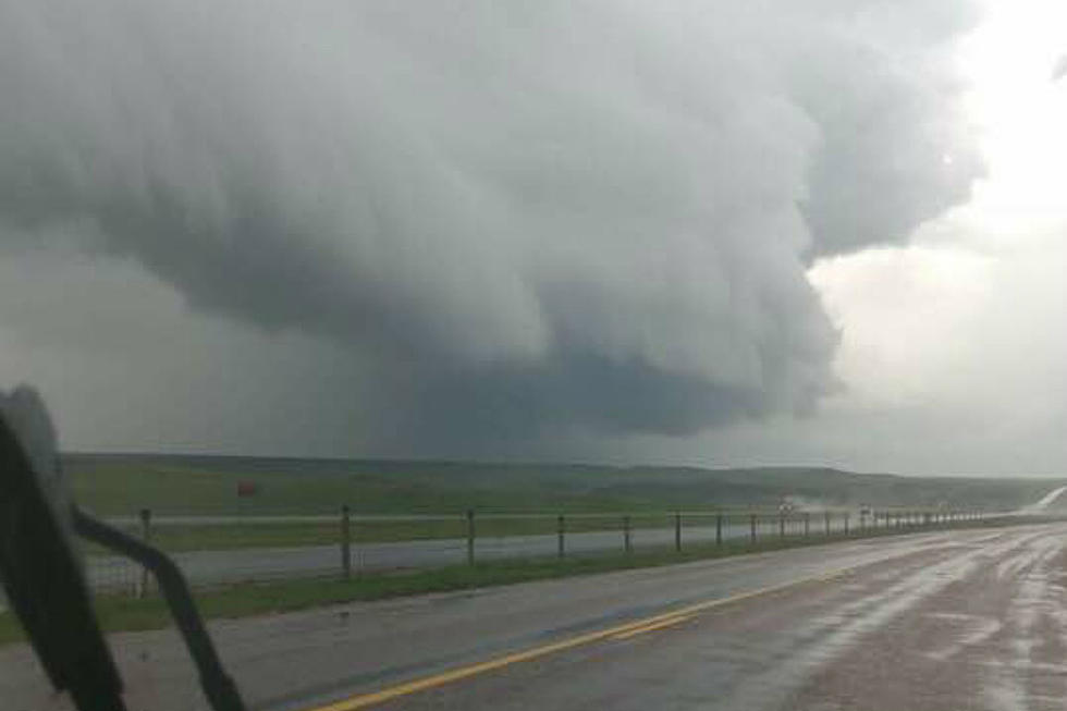
Isolated showers and thunderstorms are possible across much of southeast Wyoming this afternoon and early evening, and some storms could produce gusty winds in excess of 50 mph.
The National Weather Service in Cheyenne issued the following statements Thursday morning:

6AM May 13th – We hope you caught the sunrise this morning! Partly cloudy skies are expected throughout the day across the region. West of the Laramie Range, gusty afternoon winds are expected. Farther east, especially across the Nebraska Panhandle, scattered showers are expected this afternoon. Strong, erratic winds are possible near and showers and storms.

Get our free mobile app
Hazardous Weather Outlook
National Weather Service Cheyenne WY
617 AM MDT Thu May 13 2021

NEZ002-003-019>021-054-055-095-096-WYZ101>103-106>108-116>119-
141230-
Dawes County-Box Butte County-Scotts Bluff County-Banner County-
Morrill County-Kimball County-Cheyenne County-
Northern Sioux County-Southern Sioux County-
Converse County Lower Elevations-Niobrara County-
North Laramie Range-
Central Laramie Range and Southwest Platte County-
East Platte County-Goshen County-South Laramie Range-
South Laramie Range Foothills-Central Laramie County-
East Laramie County-
617 AM MDT Thu May 13 2021

This hazardous weather outlook is for portions of panhandle
Nebraska...east central Wyoming and southeast Wyoming.

.DAY ONE...TODAY AND TONIGHT

Isolated showers and thunderstorms are possible across much of the
area this afternoon and early evening. Some storms could produce
gusty winds in excess of 50 MPH.

.DAYS TWO THROUGH SEVEN...FRIDAY THROUGH WEDNESDAY

Scattered to numerous showers and thunderstorms are expected along
and east of the Laramie Range each afternoon and evening through
Wednesday. A few strong to severe storms are possible, with large
hail and damaging winds the primary hazards.

.Spotter information statement...

Spotter activation may be needed this weekend.
Hazardous Weather Outlook
National Weather Service Cheyenne WY
617 AM MDT Thu May 13 2021

WYZ104-105-109>115-141230-
Ferris/Seminoe/Shirley Mountains-Shirley Basin-
Central Carbon County-North Snowy Range Foothills-
Southwest Carbon County-Sierra Madre Range-
Upper North Platte River Basin-Snowy Range-Laramie Valley-
617 AM MDT Thu May 13 2021

This hazardous weather outlook is for portions of south central
Wyoming and southeast Wyoming.

.DAY ONE...TODAY AND TONIGHT

Isolated showers and thunderstorms are possible across much of the
area this afternoon and early evening. Some storms could produce
gusty winds in excess of 50 MPH.

.DAYS TWO THROUGH SEVEN...FRIDAY THROUGH WEDNESDAY

Scattered showers and thunderstorms are expected each afternoon
and evening through Wednesday.

.Spotter information statement...

Spotter activation will not be needed.
WYOMING WEATHER: The Most Destructive Tornado in Wyoming's History - July 16, 1979 Cheyenne Tornado
More From Laramie Live