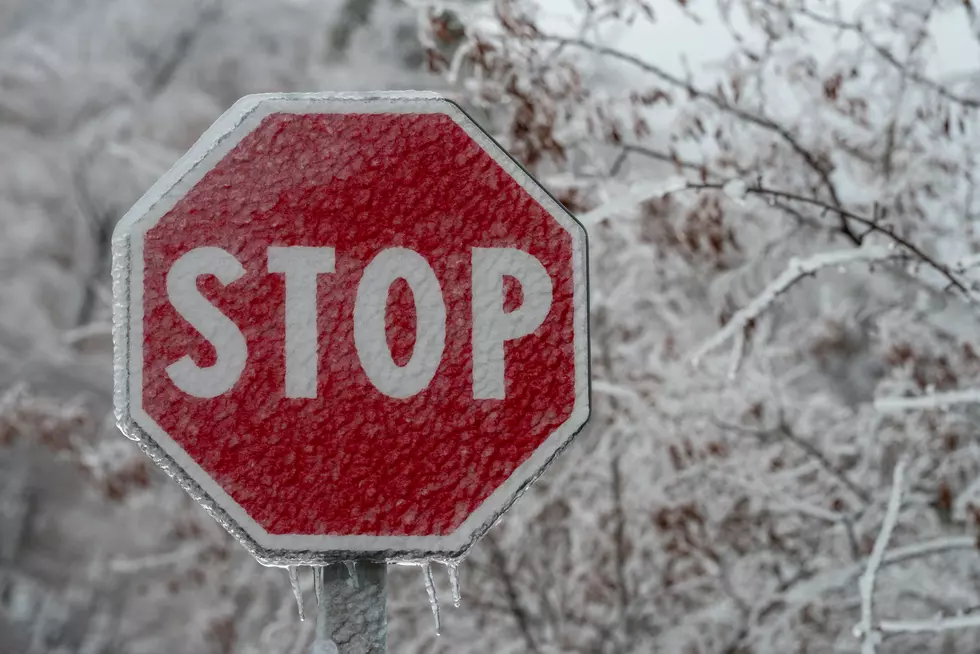
Freezing Drizzle to Impact Cheyenne Area Tonight Into Thursday
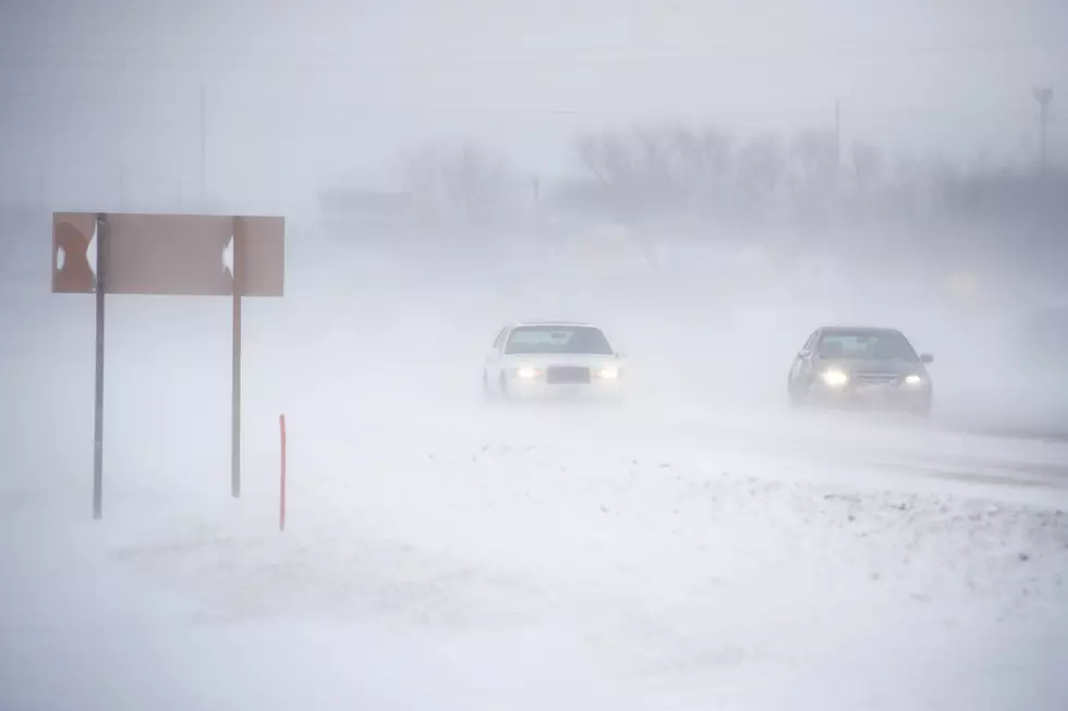
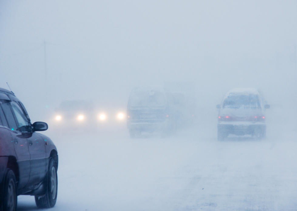
Roads and sidewalks will likely be slick Thursday morning as another storm system brings freezing drizzle to the Cheyenne area.
The National Weather Service in Cheyenne issued the following statement Wednesday morning:
Don’t be fooled by today’s mild temperatures and afternoon thunderstorms! It’s no joke that winter weather is set to return to southeast Wyoming and the western Nebraska Panhandle from late tonight through Thursday. We will have a mixed bag of precipitation types with this storm system. The best chance for 3 or more inches of snow will be across Zone 1 (Blue Shaded Area). Lower elevations can expect 3 to 6 inches of snow, while the mountains may see 6 to 12 inches. Winter Weather Advisories have been issued. As you head to the southeast, snow will begin to mix with freezing drizzle with light ice accumulations becoming more likely across Zones 2 and 3. These areas will see some snowfall as well by later Thursday, but amounts will be significantly less than areas to the north and west. Those with travel plans should pay close attention to the weather and check road conditions prior to venturing out. Be prepared for slick and/or snow covered roads as well as periods of low visibilities in fog or snow. Dial 511 or visit wyoroad.info (WY) or 511.Nebraska.gov (NE).

Ten Legendary Actors Who Made Movies in Wyoming
More From Laramie Live