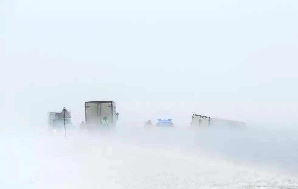
Cheyenne NWS Warns Of Possible Winter Storm For SE Wyoming
The Cheyenne Office of the National Weather Service says that while it's uncertain how severe the local impacts might be at this point, there is a possibility that a winter storm could blast southeast Wyoming and the Nebraska Panhandle late Wednesday and Thursday.
The agency posted the following on its website:
So what about that storm next week? At this time of analysis, we are watching the forecast storm track of a possible impactful weather system that may cause weather hazards across portions of our forecast area later this week. Stay tuned for weather updates later this week at: weather.gov/cys
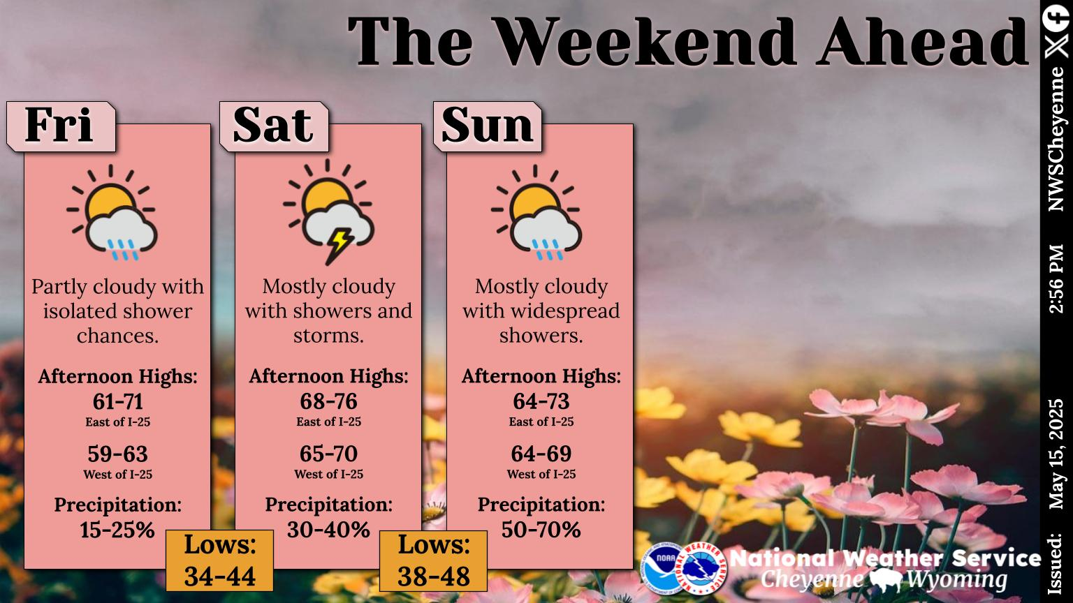
Cool temperatures for today. Warmer temperatures return for Monday and Tuesday. A strong cold front will move into the area by Wednesday and bring colder temperatures behind it. Snowfall accumulations are possible. Stay tuned for forecast updates! Go to weather.gov/cys for your own local forecast.
The agency says more details should become available over the next few days.
7 Alternatives For Salt On Icy Sidewalks
More From Laramie Live
