Cheyenne NWS Updated Winter Storm Information Oct. 12
The latest report from the Cheyenne Office of the National Weather Service says Cheyenne will probably miss the brunt of the first major winter storm of the fall season.
But Casper is under a winter storm warning, and Laramie could potentially see blizzard conditions.
The agency posted this statement and graphic to itS website:
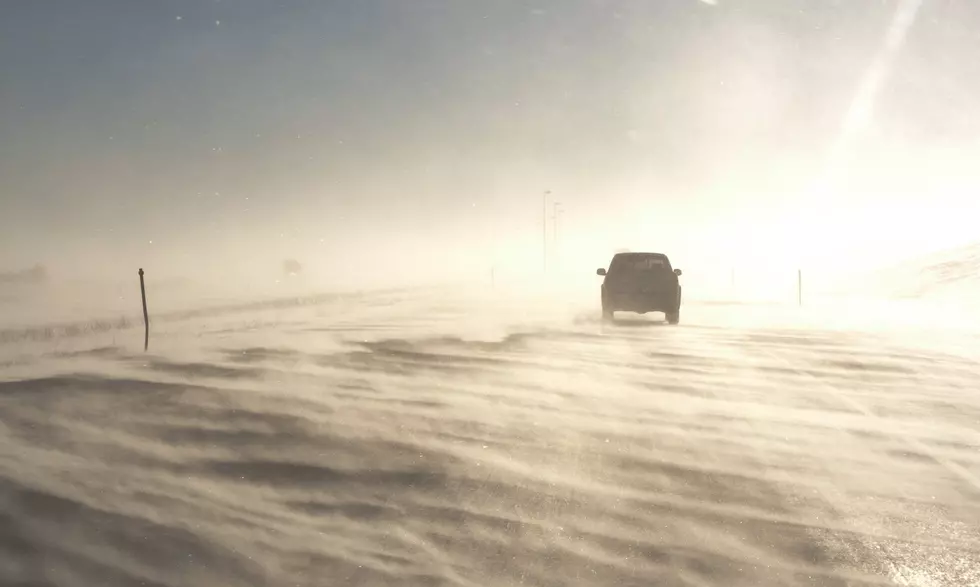
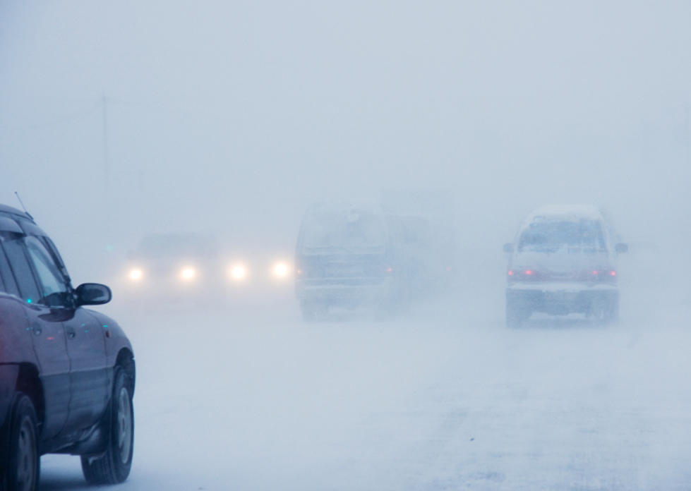
Here's a look at the weather across southeast Wyoming and Nebraska Panhandle through Thursday. A strong winter storm system will bring accumulating snow, strong winds and moderate to high travel impacts to southeast Wyoming, Tuesday through at least Wednesday morning. Winter Storm Warnings and Advisories are in effect for much of southeast Wyoming through Wednesday afternoon. As the low tracks east, very strong downsloping winds will occur east of the Laramie Range. Looking at a likely High Wind event for the Nebraska Panhandle and eastern high plains of southeast Wyoming late Tuesday night into Wednesday. Snow looks to come to an end Wednesday afternoon, but the strong winds are likely to continue across eastern areas through Wednesday evening, before easing. Looking at light snow across our western and southern forecast zones for Thursday, basically along the I-80 Corridor from Kimball to Rawlins. If traveling through southeast Wyoming and Nebraska Panhandle over the next 24 to 36 hours, be prepared for strong winds and winter weather. Dress for winter weather and carry a winter weather survival kit in your vehicle.
More From Laramie Live