Cheyenne NWS Offers 8 a.m. Update On Winter Storm
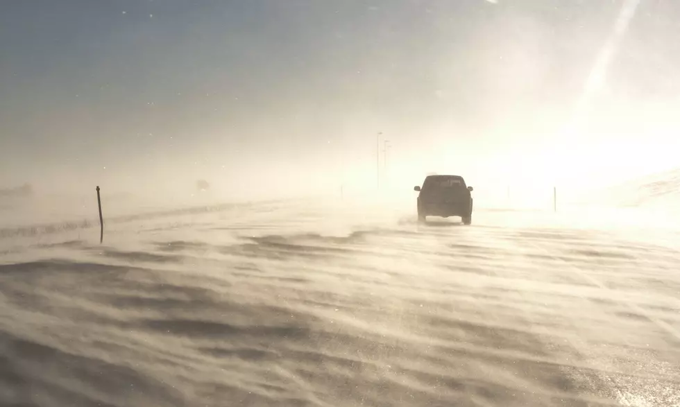
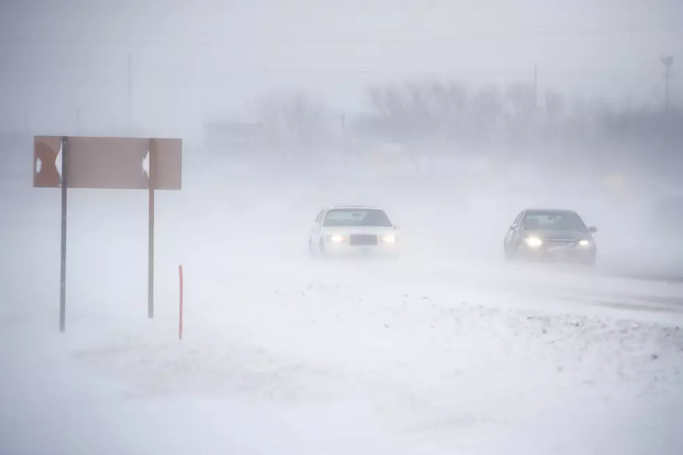
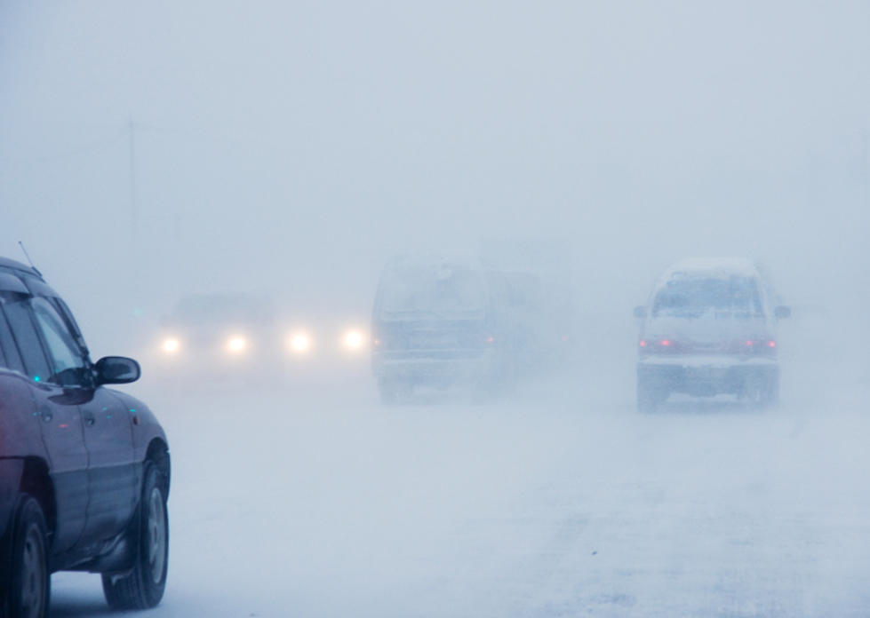
The Cheyenne Office of the National Weather Service has issued an updated situation report on a winter storm that has blasted Wyoming, closing highways and causing power outages in some areas.
Here are the current weather event impact highlights:
- Freezing drizzle accretion more than ¼ inch possible on elevated surfaces. Power Outages may occur when combined with wind.
- Precipitation will continue as light snow/freezing drizzle, and turn into snow across most locations above 5500 feet. Widespread rain/snow mix is expected below 4000 feet in elevation
- Heavy snow accumulations above 5500 feet elevation & travel impacts possible for areas in the Winter headlines. I-80 has been closed from Cheyenne to Rawlins as of 8am MDT.
- Snow expected to increase in coverage throughout the day
- Cheyenne and much of southeast Wyoming remained under a winter storm warning at last report.
The Hottest and Coldest Days in Wyoming
More From Laramie Live