35-45 MPH Winds, 65 MPH Gusts to Blast Cheyenne Tuesday
Cheyenne residents will want to hold onto their hats Tuesday as high winds are expected to blast central Laramie County.
The National Weather Service in Cheyenne issued the following message Monday afternoon:
URGENT - WEATHER MESSAGE
National Weather Service Cheyenne WY
258 PM MST Mon Nov 9 2020

WYZ118-101200-
/O.EXP.KCYS.FG.Y.0011.000000T0000Z-201109T2200Z/
/O.CON.KCYS.HW.W.0042.201110T1000Z-201111T0100Z/
Central Laramie County-
Including the city of Cheyenne
258 PM MST Mon Nov 9 2020

...HIGH WIND WARNING REMAINS IN EFFECT FROM 3 AM TO 6 PM MST
TUESDAY...
...DENSE FOG ADVISORY WILL EXPIRE AT 3 PM MST THIS AFTERNOON...

* WHAT...West winds 35 to 45 mph with gusts up to 65 mph
  expected.

* WHERE...Central Laramie County including the city of Cheyenne.

* WHEN...3 AM until 6 PM MST Tuesday.

* IMPACTS...Mainly to transportation. Strong cross winds will be
  hazardous to light weight and high profile vehicles, including
  campers and tractor trailers. There will be a high risk for
  vehicle blow overs, especially on north to south oriented roads.

PRECAUTIONARY/PREPAREDNESS ACTIONS...

A High Wind Warning means a hazardous high wind event is expected
or occurring. Sustained wind speeds of at least 40 mph or gusts of
58 mph or more can lead to property damage.
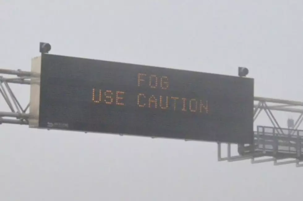
9/2PM Update on High Wind Warnings: Greetings! High Wind Warnings have been expanded to include Laramie, Wheatland, Chugwater and Cheyenne. It's going to be a really windy day Tuesday with strong winds beginning in our wind prone areas (Arlington, South Laramie Range and Bordeaux) tonight. Widespread dangerous winds of 70-75 mph are expected, starting early this evening (8PM) and continuing through 11 PM Tuesday on these wind prone areas of I-25 and I-80. These strong winds are expected to spill out into the Laramie Valley, east Platte County and central Laramie County early Tuesday morning (3 AM) and continue through most of the day Tuesday. Use caution if traveling, especially if driving light/high profile vehicles or towing a trailer. Winds this strong will blow you over if your driving a light load semi or towing a camper or light trailer. You may want to consider an alternate route as road closures and travel delays can be expected with these strong winds. For the latest road information head to wyoroad.info and stay safe!

The Worst Storms Of The Decade In Southeast Wyoming
More From Laramie Live