10 Inches Of Snow Possible In SE Wyoming Mountains
Officials with the Cheyenne Office of the National Weather Service say higher elevations in southeast Wyoming could receive 6-10 inches of snow over the next couple of days.
Three-to-five inches can be expected at lower elevations, according to the agency.
The weather service posted this statement on their website on Thursday morning:
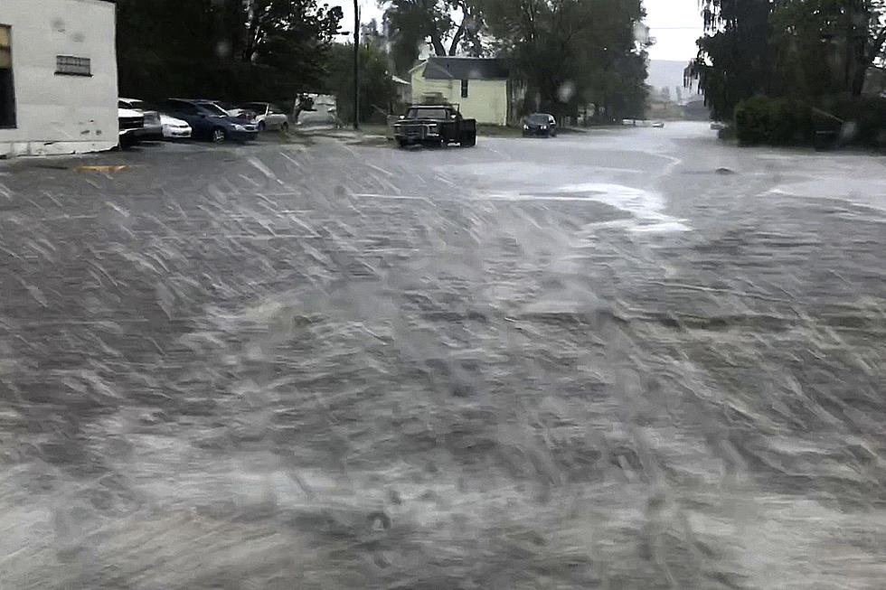
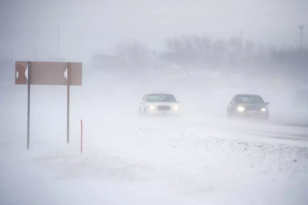
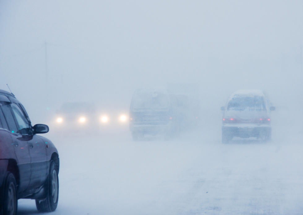
''There will be an increasing chance for showers and thunderstorms across portions of the area this afternoon & evening, with rain and mountain snow expected to become more widespread across all of southeast Wyoming and the western Nebraska Panhandle overnight into Friday. Rain will gradually change to snow into the lower elevations on Friday, with minor accumulations and some travel impacts possible through the day. Those with travel plans across the entire area should be prepared to encounter areas of low visibility and slick roadways. A Winter Weather Advisory has been issued for the Snowy and Sierra Madre mountain ranges from 6 PM MDT this evening until 6 AM MDT Saturday. Mountain travel will be hazardous with 6-10 inches of snow expected above 8500 feet elevation. It is possible that Advisories may need to be expanded into some lower elevation areas in the future. Stay tuned!"
More From Laramie Live