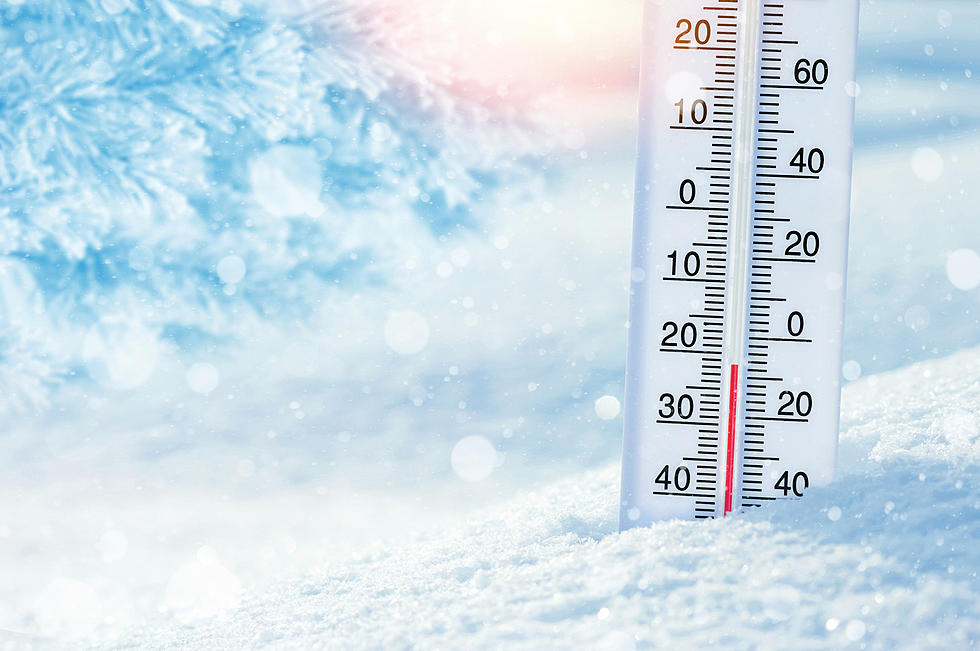
Windchill Advisory for Laramie Tuesday Night and Wednesday Morning
The National Weather Service office in Cheyenne has issued a Wind Chill Advisory for parts of south central Wyoming Tuesday night into Wednesday morning. Overnight lows in Laramie are expected to dip below zero, with a west southwest 15 to 20 at mph.
A Wind Chill Advisory means that cold air and the wind will combine to create low wind chills. Frostbite and hypothermia can occur if precautions are not taken. Make sure you wear a hat and gloves.
URGENT - WINTER WEATHER MESSAGE
National Weather Service Cheyenne WY
120 PM MST Tue Feb 19 2019

...Increasing Winds and Blowing Snow Tonight Through Wednesday
Morning...
...Strong Winds and Low Overnight temperatures Will Create
Dangerous Windchill Temperatures Tonight...

WYZ101-103>105-111>115-201200-
/O.NEW.KCYS.WC.Y.0005.190220T0600Z-190220T1500Z/
Converse County Lower Elevations-North Laramie Range-
Ferris/Seminoe/Shirley Mountains-Shirley Basin-
Southwest Carbon County-Sierra Madre Range-
Upper North Platte River Basin-Snowy Range-Laramie Valley-
Including the cities of Bill, Douglas, Deer Creek, Glenrock,
Garrett, Seminoe Dam, Medicine Bow, Shirley Basin, Baggs,
Saratoga, Encampment, Centennial, Albany, Bosler, and Laramie
120 PM MST Tue Feb 19 2019

...WIND CHILL ADVISORY IN EFFECT FROM 11 PM THIS EVENING TO 8 AM
MST WEDNESDAY...

* WHAT...Very cold wind chills expected. Wind chills as low as
  30 below zero expected.

* WHERE...Douglas...Medicine Bow...Baggs...Saratoga...Laramie.

* WHEN...From 11 PM this evening to 8 AM MST Wednesday.

* ADDITIONAL DETAILS...The cold wind chills could cause
  frostbite on exposed skin in as little as 30 minutes.
More From Laramie Live